



What's Happening?
A slow-moving weather system is expected to bring several days of rain to Maine, starting Wednesday and continuing through the weekend. The National Weather Service forecasts the highest chance of precipitation on Thursday, with varying intensities from
showers to heavy rainfall. The system is anticipated to linger over New England due to a 'cutoff' from the jet stream, which typically moves systems quickly offshore. Meteorologist Cameron Barker noted that while the storm shares some characteristics with a nor’easter, it lacks the necessary dynamics to be classified as such. Flood watches have been issued for parts of upstate New York and southern New England, with Maine being monitored for potential flooding.
Why It's Important?
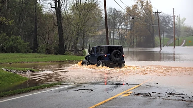
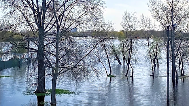
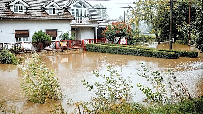
The extended period of rainfall could lead to flooding, particularly in areas already saturated from previous storms. This weather event may impact agriculture, transportation, and daily activities across Maine. The potential for flooding raises concerns for infrastructure and property damage, necessitating preparedness measures from residents and local authorities. The economic implications could be significant, affecting local businesses and potentially leading to increased insurance claims. Additionally, the storm's impact on travel and outdoor activities could disrupt tourism, a vital part of Maine's economy.
What's Next?
Residents are advised to stay informed through local weather updates and heed any flood warnings or advisories. Emergency services and local governments may need to prepare for potential evacuations or road closures. The weather service will continue to monitor the system's progression and update forecasts as necessary. Community members are encouraged to secure property and ensure they have emergency supplies on hand. The situation will require ongoing coordination between meteorologists, emergency responders, and the public to mitigate the storm's impact.