
What's Happening?
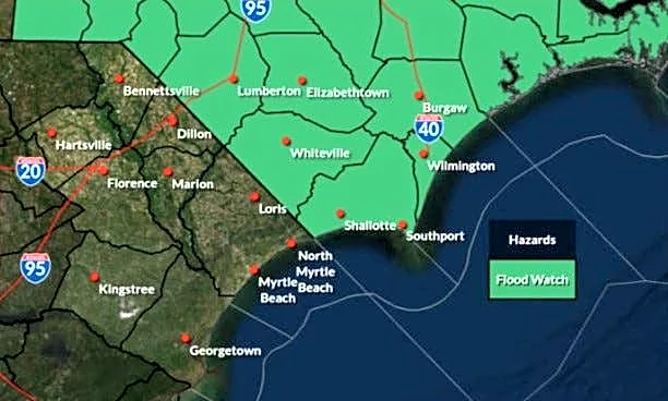
Western Wyoming and Eastern Idaho have experienced significant rainfall due to monsoonal thunderstorms, with localized areas receiving over 2 inches of rain in a short period. The storms, which began on Monday
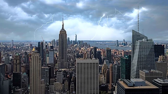
night, have been fueled by high moisture levels and have resulted in a Flood Watch for the region. Notable rainfall totals include 2.17 inches in Driggs and 2.72 inches near Old Faithful in Yellowstone. The storms have also produced significant lightning, although rainfall outside the core areas has been more modest.
Why It's Important?
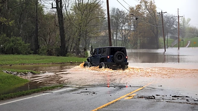
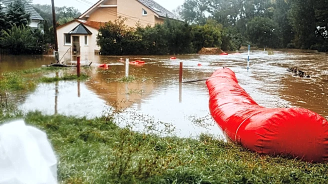
The heavy rainfall from these thunderstorms poses a risk of flash flooding, particularly in areas with 'training' storms where multiple cells pass over the same location. This weather pattern highlights the challenges of managing water resources and infrastructure in regions prone to sudden, intense rainfall. The increased moisture and resulting storms can impact local agriculture, tourism, and daily life, necessitating preparedness and response strategies to mitigate potential damage.
What's Next?
The weather pattern is expected to stabilize slightly, but showers and thunderstorms remain likely in the coming days. A monsoonal flow is predicted to continue, bringing near-daily chances of afternoon thunderstorms. Residents and local authorities will need to remain vigilant for potential flash flooding, especially in areas with repeated storm activity. Long-term forecasts suggest above-average temperatures will persist, which could exacerbate the effects of any additional rainfall.