


What's Happening?
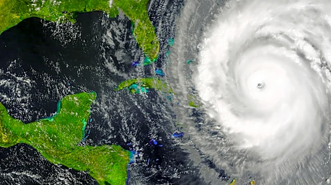
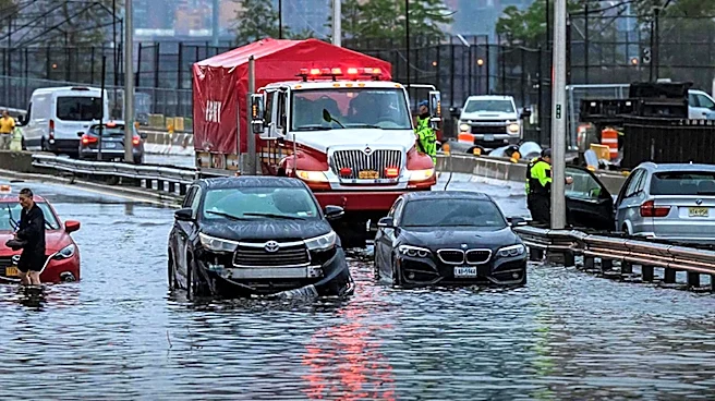
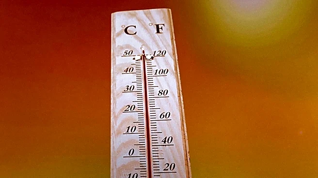
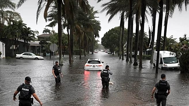
Maryland is experiencing a combination of record-breaking heat and severe storms during the July 4th celebrations. The First Alert Weather team has issued warnings for potential strong thunderstorms, which are expected to bring relief from the intense
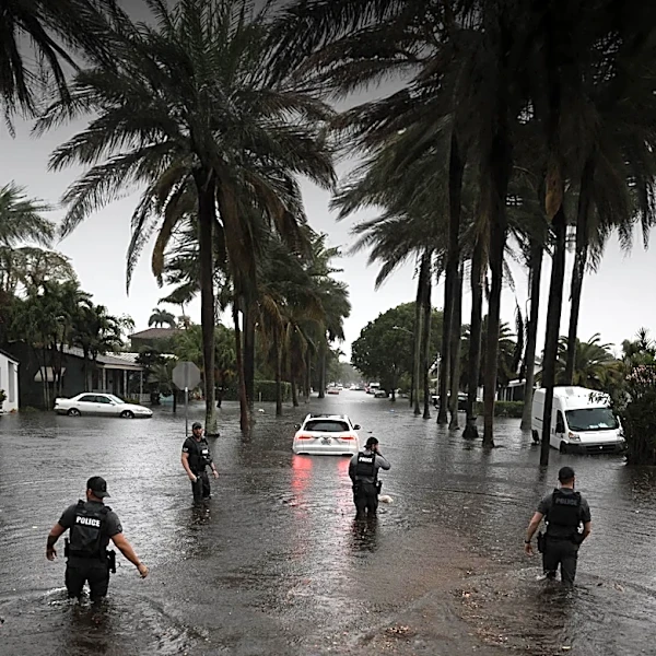
heat. Temperatures have soared into the 100s, with heat indices exceeding 110 degrees. The storms are anticipated to continue into the early week, with risks of damaging winds and urban flooding. The weather pattern is expected to shift midweek, bringing milder conditions.
Why It's Important?
The extreme weather conditions in Maryland highlight the challenges posed by climate variability and the need for robust weather forecasting and emergency response systems. The impact on public safety and infrastructure is significant, as severe storms can lead to power outages and property damage. The economic implications are also notable, as disruptions to holiday events can affect local businesses and tourism. This situation emphasizes the importance of climate resilience and adaptation strategies to mitigate the effects of extreme weather.
What's Next?
Residents are advised to stay updated on weather alerts and take necessary precautions to ensure safety. Emergency services are prepared to respond to any incidents resulting from the severe weather. As the weather pattern evolves, further advisories may be issued. The focus will be on managing the immediate impacts and planning for future weather-related challenges. This event may also prompt discussions on enhancing infrastructure resilience and improving climate adaptation measures.