

What's Happening?
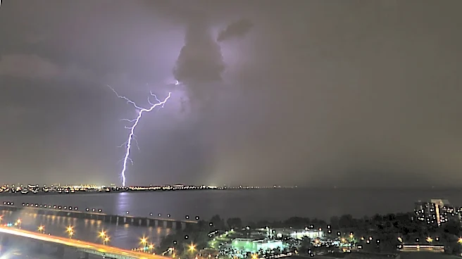
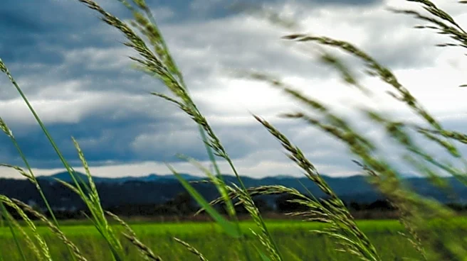
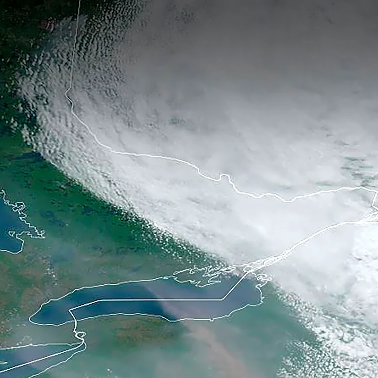
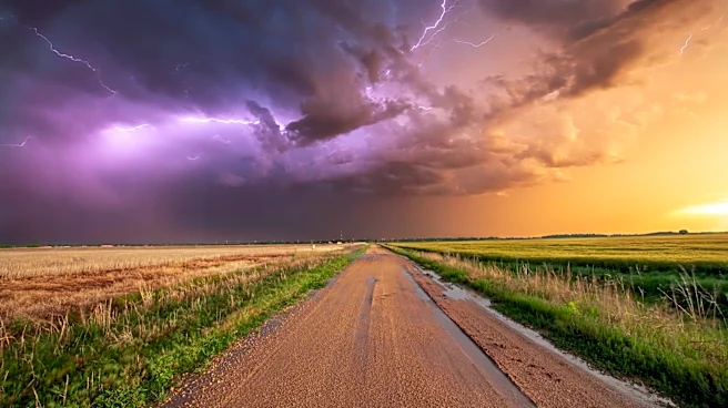
Southwest Montana, including the Bozeman area, is currently experiencing warm temperatures and gusty winds. A fast-moving disturbance brought severe thunderstorms and strong winds on Wednesday afternoon, which have since dissipated. While the High Wind
Warning from Wednesday is set to expire, Red Flag Warnings will remain in effect through Thursday evening. These warnings are due to the continued presence of gusty winds, dry fuel conditions, and dry weather. Temperatures are expected to reach the 70s on Thursday and Friday. The forecast for the upcoming Labor Day weekend indicates a more unsettled weather pattern, with isolated showers and thunderstorms possible on Saturday and Sunday. Monday, Labor Day itself, has a higher chance of rain showers and thunderstorms, with temperatures cooling into the 60s for most of the area. Overnight lows are projected to range from the upper 30s to upper 40s.
Why It's Important?
The continuation of Red Flag Warnings in southwest Montana is a significant concern due to the heightened risk of wildfires. Gusty winds combined with dry fuel and dry weather create ideal conditions for fires to start and spread rapidly, posing a threat to natural landscapes, property, and public safety. Residents and visitors in the Bozeman area need to be particularly vigilant and adhere to any fire restrictions or warnings issued by local authorities. The unsettled weather forecast for the Labor Day weekend, with potential for isolated thunderstorms, could further complicate fire management efforts if lightning strikes occur. The cooler temperatures predicted for Labor Day Monday, while potentially bringing rain, also highlight the variability of weather patterns in the region and the need for preparedness for changing conditions, especially for those with outdoor plans.
What's Next?
Red Flag Warnings are expected to continue through Thursday evening, requiring ongoing vigilance from residents and fire management agencies in southwest Montana. The weather will remain gusty at times on Friday, with a possibility of a few showers and thunderstorms. As the Labor Day weekend approaches, isolated showers and thunderstorms are forecast for Saturday and Sunday. The most significant change is anticipated on Labor Day Monday, with a much higher chance of rain showers and thunderstorms and a noticeable drop in temperatures into the 60s. Local authorities will likely continue to monitor weather conditions closely and issue updates or further restrictions as needed, particularly concerning fire danger. Residents should stay informed about the latest weather forecasts and any advisories from the National Weather Service or local emergency services.
Beyond the Headlines
The persistent dry conditions and gusty winds leading to Red Flag Warnings underscore the broader challenges faced by the Western U.S. in managing wildfire risks, especially during late summer and early fall. These conditions are often exacerbated by long-term climate trends, which can lead to more frequent and intense fire seasons. The impact extends beyond immediate fire suppression efforts, affecting air quality, local ecosystems, and the economy, particularly tourism and outdoor recreation. The need for public awareness and adherence to fire safety guidelines becomes paramount, as human activities are often a significant cause of wildfires. The fluctuating weather patterns, from warm and dry to potentially stormy, also highlight the complex and dynamic nature of regional weather systems and the increasing importance of accurate forecasting and preparedness for diverse weather events.