




What's Happening?
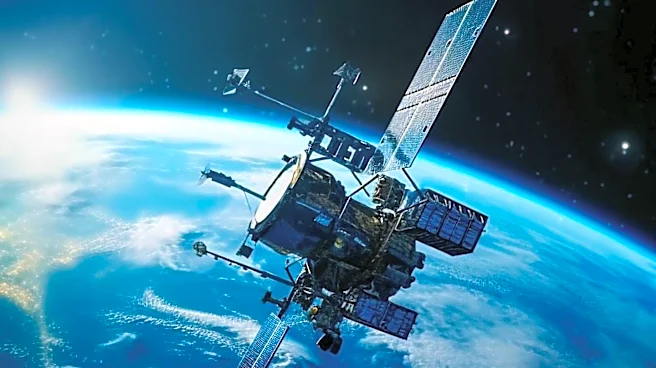
Researchers at Kyoto University have utilized the orbital data from approximately 1,200 Starlink satellites to map Earth's thermosphere, a challenging-to-observe region of the upper atmosphere. This effort has resulted in the first tomographic map of atmospheric
density patterns at about 300 miles above Earth. The study, published in Earth, Planets, and Space, highlights how these satellites, originally designed for internet service, are now providing valuable data for atmospheric research. The thermosphere, extending from 62 to 621 miles above Earth, consists mostly of electrically neutral gas, with less than 1% being charged particles. The study leverages the drag experienced by satellites due to sparse atmospheric particles, which affects their speed and altitude, to gather data on atmospheric density.
Why It's Important?
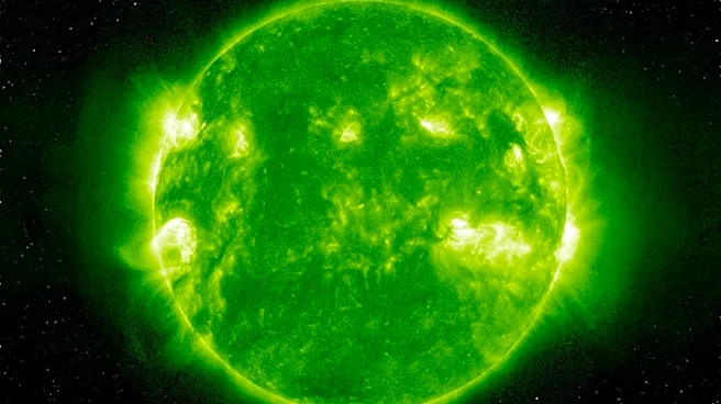
Understanding the density variations in the thermosphere is crucial for satellite tracking, reentry forecasting, and space debris management. The thermosphere's density can change rapidly due to solar activity, affecting satellite orbits and increasing collision risks. This research provides a new method to observe these variations, offering a broader view than previous single-path satellite observations. The findings align with data from the European Space Agency's SWARM satellites, validating the approach. This advancement could enhance space weather forecasts and improve orbital safety, benefiting satellite operators and space agencies by providing more accurate data for planning and response strategies.
What's Next?
Future developments could enable real-time tracking of thermospheric density, further improving space weather predictions and orbital calculations. This would allow for more effective responses to solar storms and other atmospheric disturbances. The research team aims to refine their methods and expand the system's capabilities, potentially offering a comprehensive tool for monitoring the upper atmosphere. Such advancements could lead to better-informed decisions in satellite operations and space exploration, reducing risks associated with space debris and enhancing the safety of space missions.