






What's Happening?
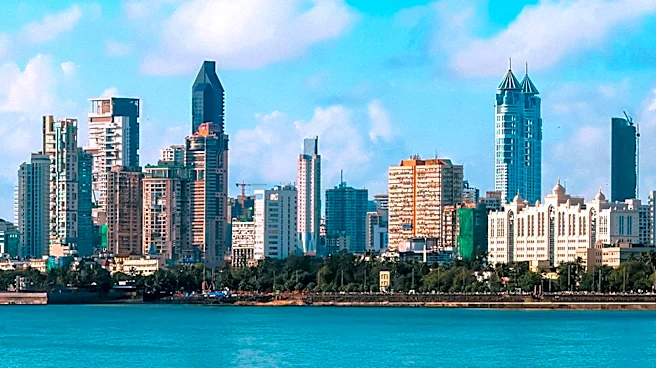
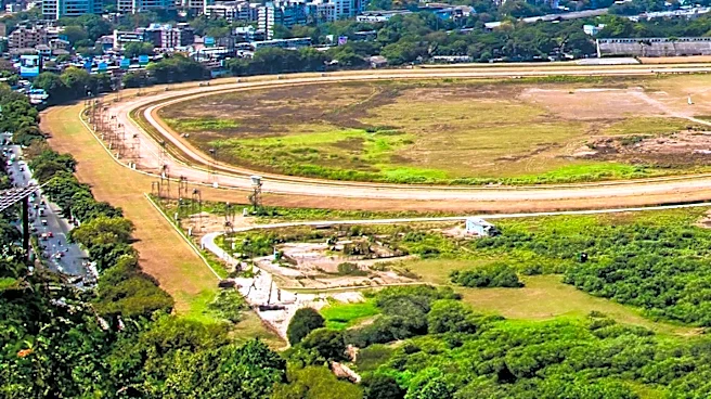
Apollo Mapping, a company specializing in satellite imagery, has featured Mumbai, India, in its regular 'Bird's Eye View' article series. This series showcases high off-nadir satellite images, which provide an expansive, side-view perspective of landscapes.
Off-nadir refers to the tilt of a satellite camera as it images the ground, with most imagery collected at an off-nadir below 30 degrees. However, for bird's eye view images, satellites are tilted between 35 to 50 degrees to capture a unique oblique perspective. The company uses this method to offer a distinct view of various global locations, with Mumbai being the latest focus. These specialized images are sometimes captured by customer request or to document significant events like natural disasters.
Why It's Important?
The use of high off-nadir satellite imagery, as demonstrated by Apollo Mapping's feature on Mumbai, is important for several reasons. This technology provides a unique visual perspective that traditional nadir (straight-down) imagery cannot offer, which can be crucial for urban planning, environmental monitoring, and disaster assessment. For businesses and researchers, these oblique views can offer enhanced contextual information about geographical features and infrastructure. The ability to request such specific imagery also highlights the growing customization and demand in the satellite imaging industry, allowing for tailored data collection that serves diverse analytical and observational needs. This specialized imaging technique enhances the understanding and visualization of complex urban environments like Mumbai.
What's Next?
Apollo Mapping plans to continue its 'Bird's Eye View' series, regularly featuring new locations with high off-nadir satellite imagery. The company encourages interested parties to join its Reddit subgroup, BirdsEyeViewImagery, where additional high off-nadir satellite images are posted weekly. This ongoing initiative suggests a continued focus on providing unique visual data and engaging with a community interested in advanced satellite imaging techniques. The continued availability of such specialized imagery could further support various applications, from academic research to commercial development, by offering detailed and distinct perspectives of global landscapes.
Beyond the Headlines
The increasing sophistication of satellite imaging technology, particularly the capability to capture high off-nadir or 'bird's eye view' images, represents a significant advancement in remote sensing. This technology moves beyond simple mapping to offer a more immersive and contextual understanding of geographical areas. Ethically, the widespread availability of such detailed imagery raises considerations regarding privacy and surveillance, especially in densely populated urban centers. Culturally, these images can influence how we perceive and interact with global cities, offering a 'god's eye' perspective that can both inform and inspire. The development also underscores the commercialization of space technology, with companies like Apollo Mapping providing specialized data services to a broad range of clients.