






What's Happening?
Eastern Iowa is preparing for an unseasonably warm weekend, with temperatures expected to reach the low-to-mid 80s on Saturday, making it the warmest day. A breezy south-southeast wind, ranging from 10-20 miles per hour, will accompany mostly sunny skies.
Sunday will maintain pleasant conditions with highs around 80 degrees and mostly sunny skies, while overnight lows will drop into the 50s. Monday is also forecast to be warm, with temperatures in the low 80s and predominantly dry weather. However, this period of warmth is expected to conclude by the middle of next week, as rain and storm chances are predicted to return to the region. Following this weather system, significantly cooler air is anticipated to arrive by the subsequent weekend, with high temperatures potentially falling into the 50s.
Why It's Important?
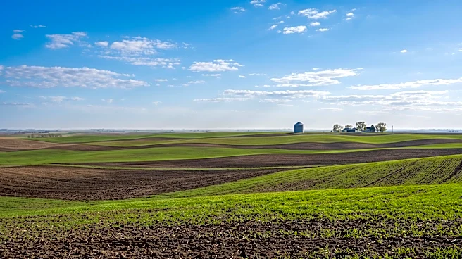
This weather pattern is important for residents and businesses in Eastern Iowa as it dictates immediate outdoor activities and planning. The unseasonably warm weekend offers an opportunity for outdoor recreation and events, potentially boosting local businesses that cater to such activities. However, the impending shift to cooler temperatures and increased chances of rain and storms by midweek will require adjustments. For agriculture, a sudden drop in temperature could impact late-season crops or planting schedules, while increased rainfall could affect field conditions. The forecast provides crucial information for utility companies to anticipate energy demands, as warmer temperatures might lead to higher air conditioning usage, followed by a potential increase in heating needs as cooler air arrives. This variability underscores the importance of accurate and timely weather forecasting for public safety and economic planning in the region.
What's Next?
Residents of Eastern Iowa should plan to enjoy the warm and dry conditions through early next week, making the most of outdoor opportunities. However, they should also prepare for a significant change in weather patterns by mid-week. The return of rain and storm chances will necessitate monitoring local weather advisories for potential severe weather. Following the storms, the region is expected to experience the coolest air of the season, with temperatures dropping into the 50s by next weekend. This will likely prompt a shift in daily routines and clothing choices, and potentially impact energy consumption as heating systems may become more necessary. Local authorities and emergency services will likely monitor the weather closely for any potential impacts from the storms and the subsequent cold front.
Beyond the Headlines
The fluctuating weather patterns in Eastern Iowa, moving from unseasonably warm to significantly cooler with rain and storms, highlight broader climate trends and their localized impacts. Such rapid shifts can challenge infrastructure, particularly in terms of managing stormwater runoff during heavy rains and adapting to sudden temperature changes. For the agricultural sector, these unpredictable weather swings can complicate harvest schedules and crop management, potentially affecting yields and local food supply chains. Environmentally, the unseasonable warmth followed by a cold snap can disrupt natural ecosystems, impacting local flora and fauna. This scenario also underscores the increasing importance of climate resilience planning for communities, as they face more frequent and intense weather variability, requiring robust emergency preparedness and adaptive strategies for public health and safety.