



What's Happening?
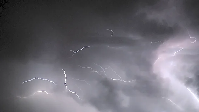
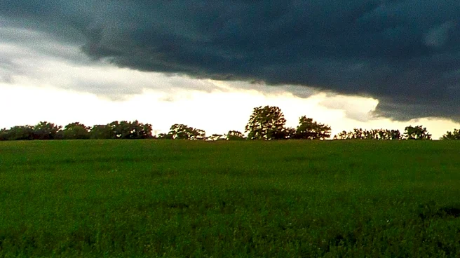
The National Weather Service has issued a Severe Thunderstorm Watch effective through 2 AM Sunday for regions in northern and central Iowa and southern Minnesota. The areas under watch include Cerro Gordo, Worth, Winnebago, and Hancock counties in Iowa,
as well as Steele and Freeborn counties in Minnesota. The primary threats from these storms are damaging winds, with gusts potentially reaching up to 85 mph, and large hail up to 1.5 inches in diameter. Although the storm complex has shown signs of weakening as it moves eastward, the potential for strong to severe storms remains as it approaches the region.
Why It's Important?
The issuance of a Severe Thunderstorm Watch highlights the potential for significant weather disruptions in the affected areas. High wind speeds and large hail can cause damage to infrastructure, homes, and vehicles, posing a risk to public safety. Additionally, such weather conditions can lead to power outages and disrupt transportation, affecting daily activities and local economies. Residents in the watch areas are advised to stay informed and take necessary precautions to protect themselves and their property.
What's Next?
As the storm system progresses, residents in the affected areas should monitor local weather updates and be prepared for possible severe weather conditions. Emergency services and local authorities may issue further warnings or advisories if the situation escalates. It is crucial for individuals in the watch areas to have a plan in place and to seek shelter if severe weather approaches.