


What's Happening?
Meteorologists are closely monitoring the potential development of a 'super El Niño' this summer, which could significantly impact global weather patterns. El Niño is characterized by warming ocean surface temperatures in the central and eastern tropical
Pacific Ocean, leading to shifts in precipitation, drought, and climate disasters. The US Climate Prediction Center indicates a 62% chance of El Niño emerging this summer, with the possibility of it being exceptionally strong. Such an event could push global temperatures to new heights and exacerbate extreme weather events worldwide.
Why It's Important?
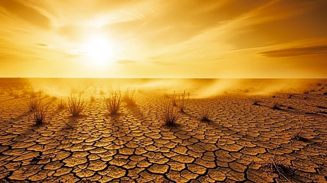
A 'super El Niño' could have far-reaching effects on global climate, potentially leading to severe weather events such as droughts, floods, and heatwaves. These conditions could disrupt agriculture, water supply, and energy production, posing challenges for governments and industries. The potential for record-breaking temperatures and extreme weather highlights the need for preparedness and adaptation strategies to mitigate the impacts on vulnerable communities and ecosystems. Accurate forecasting and early warning systems will be crucial in managing the risks associated with a strong El Niño event.
What's Next?
Climate scientists and meteorologists will continue to monitor oceanic and atmospheric conditions to refine predictions about the strength and timing of the El Niño event. Governments and organizations involved in disaster risk management and humanitarian operations will need to prepare for potential impacts, including planning for water resource management and agricultural adjustments. The development of El Niño will be closely watched, with updates expected as conditions evolve.