

What's Happening?
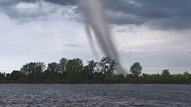
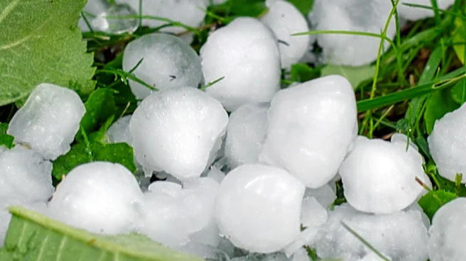
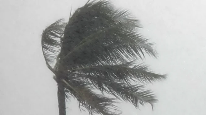
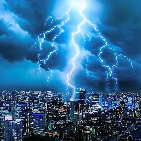
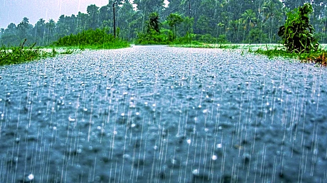
The Michiana area is bracing for severe weather as two rounds of storms are expected to hit. The first round is anticipated in the mid to late afternoon, bringing gusty winds, small hail, and heavy rain. There is a possibility of isolated tornadoes if
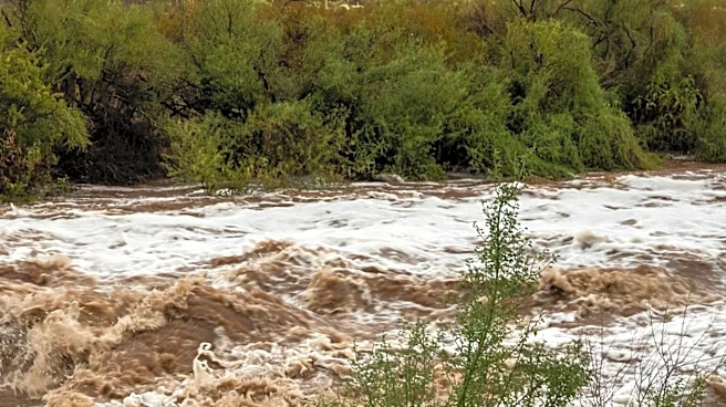
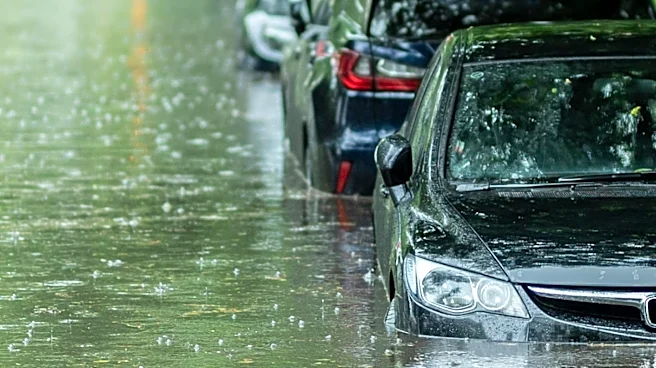
the storms remain isolated. A second round is expected later in the evening, around 10 PM, continuing overnight. This round poses a threat of heavy rain and localized flooding, with the potential for tornadoes if conditions allow. The situation remains dynamic, with further storms possible on Monday and Tuesday, though their severity is uncertain and dependent on the current weather developments.
Why It's Important?
The severe weather poses significant risks to the Michiana region, including potential property damage, power outages, and threats to personal safety. Indiana Michigan Power has already reported outages from previous storms, highlighting the vulnerability of the area's infrastructure. Residents are advised to stay informed and prepared for possible emergency situations. The impact on local communities could be substantial, affecting daily activities, travel, and potentially leading to economic disruptions if businesses and services are forced to close or operate at reduced capacity.
What's Next?
Residents should remain vigilant and monitor weather updates as the situation evolves. Local authorities and emergency services are likely to be on high alert, ready to respond to any incidents resulting from the storms. The community may need to prepare for further disruptions if additional storms develop in the coming days. Coordination between utility companies, emergency responders, and local government will be crucial in managing the aftermath and ensuring public safety.