
What's Happening?
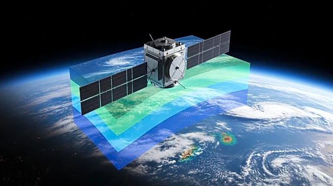
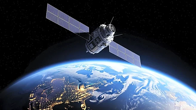
NASA has launched 11 new Plankton, Aerosol, Cloud, ocean Ecosystem (PACE) data products, now available in the ArcGIS Living Atlas of the World. These products include global, 8-day image composites at varied
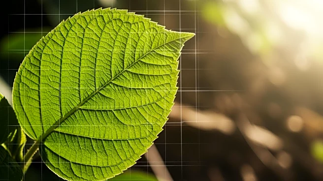
spatial resolutions, designed for geographic information system (GIS) users. The data products cover ocean chlorophyll-a concentration and terrestrial normalized difference vegetation index (NDVI), among others. These services are intended to aid in water resources management, land monitoring, and air quality assessment. PACE's advanced capabilities allow for tracking phytoplankton blooms, monitoring vegetation growth, and assessing air quality through metrics like aerosol optical depth and nitrogen dioxide concentration.
Why It's Important?
The introduction of PACE imagery services represents a significant advancement in environmental monitoring and management. By providing detailed and frequent data on ocean, land, and atmospheric conditions, these services enhance the ability of researchers and policymakers to track environmental changes and make informed decisions. The data can be used to address critical issues such as water quality, agricultural productivity, and air pollution, which have direct implications for public health and environmental sustainability. The availability of these tools to GIS users broadens the scope of environmental analysis and supports efforts to mitigate the impacts of climate change.