







What's Happening?
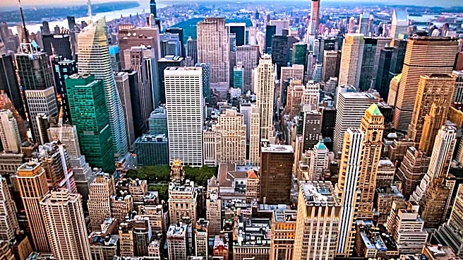
A new timelapse video, produced by the YouTube channel CITY 3D TIMELAPSE, condenses over four centuries of Manhattan's urban development into an eight-minute animation. The video traces the island's evolution from a 17th-century outpost of marshland and Dutch
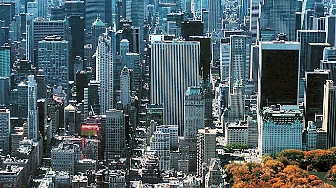
trading posts to its current state as a dense, soaring metropolis. It begins in the mid-1500s, before European arrival, and then documents the founding of New Amsterdam by the Dutch, followed by English colonial rule, the development of maritime infrastructure, and the implementation of the Commissioners’ Plan of 1811. The animation further covers the 19th-century industrial boom, the rise of skyscrapers, and the 20th and 21st-century 'globalization era,' showcasing how New York's skyline became a symbol of urban ambition. The video uniquely replays the evolutionary process three times at different scales: whole Manhattan, Lower Manhattan, and Midtown, highlighting distinct growth patterns.
Why It's Important?
This timelapse offers a unique and condensed visual history of one of the world's most influential cities, Manhattan. It provides critical insights into urban planning, architectural evolution, and the socio-economic forces that shaped a major global hub. Understanding this transformation can inform contemporary urban development strategies, highlighting the long-term impacts of planning decisions like the Commissioners’ Plan of 1811, which still defines Manhattan's layout. For historians, urban planners, and the general public, the video serves as an educational tool, illustrating the dynamic nature of urban landscapes and the continuous interplay between human activity and geographical features. It underscores how seemingly permanent cityscapes are products of centuries of change and adaptation.
Beyond the Headlines
The timelapse video of Manhattan's evolution transcends a mere historical account; it serves as a powerful metaphor for urban development worldwide. It illustrates the relentless pace of change, the constant negotiation between natural landscapes and human ambition, and the enduring legacy of foundational planning decisions. The distinct growth patterns observed in Lower Manhattan versus Midtown highlight how different economic and social drivers can lead to varied urban forms within the same geographical area. This visual narrative can provoke deeper discussions about sustainable urban growth, the preservation of historical integrity amidst modernization, and the challenges of managing ever-increasing population densities in metropolitan areas. It also subtly reminds viewers that even the most iconic skylines are temporary manifestations of ongoing historical processes.