


What's Happening?
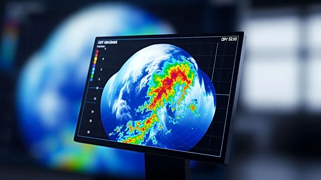
The National Hurricane Center is set to introduce a new track forecast cone graphic for the upcoming Atlantic hurricane season, starting June 1. This updated graphic, which has been in experimental use for two years, aims to enhance public understanding
of storm risks. The traditional 'cone of uncertainty' graphic, used since 2002, often led to misunderstandings about the storm's path and impact. The new version will include inland tropical storm and hurricane watches and warnings for the continental United States, Hawaii, Puerto Rico, and the U.S. Virgin Islands, using bright colors to better convey wind risks and hazards extending beyond the cone. The changes are part of a broader effort to improve communication about storm hazards and risks, as explained by Michael Brennan, the director of the hurricane center.
Why It's Important?
The updated forecast cone is significant as it addresses long-standing issues with public perception and understanding of hurricane risks. By including inland warnings and using a more intuitive design, the new graphic aims to provide a clearer picture of potential storm impacts, which is crucial for emergency preparedness and response. This change could lead to better-informed decisions by residents and emergency managers, potentially reducing the risk of harm and property damage. The initiative reflects a commitment to continuous improvement in how storm risks are communicated, which is vital in an era of increasingly severe weather events due to climate change.
What's Next?
The new graphic will be officially launched with the first tropical storm of the season. The hurricane center plans to continue refining its communication tools, with ongoing feedback from the public and emergency managers. Future updates may include further enhancements to the interactive features of the graphic, allowing users to zoom, pan, and save images for better accessibility. The center is also rolling out storm surge watches and warnings for Hawaii, expanding its focus on comprehensive risk communication.
Beyond the Headlines
The shift to a more effective forecast cone graphic highlights the evolving nature of meteorological communication in response to public needs and technological advancements. This development underscores the importance of adapting scientific tools to improve public safety and awareness. It also reflects a broader trend in disaster management, where data visualization plays a crucial role in conveying complex information in an accessible manner.