


What's Happening?
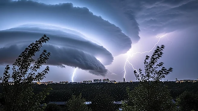
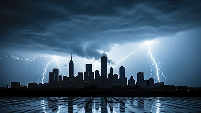
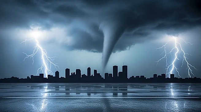
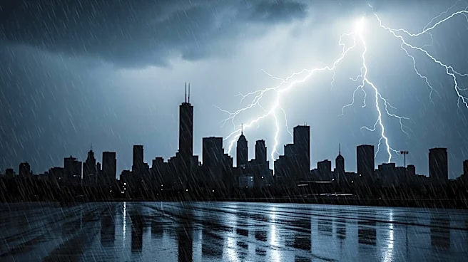
The Chicago area is bracing for severe weather as tornado and flood watches have been issued. A Tornado Watch is in effect for several counties in Illinois, including Cook, DuPage, and Lake, extending until midnight. In Indiana, La Porte is under a watch until early
Wednesday morning. A Flood Watch is also in place for multiple counties in Illinois and Indiana until 6 a.m. Wednesday. The National Weather Service has warned of the potential for severe storms, including hail and tornadoes, particularly between 6 p.m. and midnight. The storms are expected to be most severe north of I-90, with a moderate risk of severe weather in the city and north of I-80. ComEd has deployed crews to address potential power outages, and residents are advised to take shelter if tornado warnings are issued.
Why It's Important?
The severe weather poses significant risks to the Chicago area, including potential damage from tornadoes, hail, and flooding. The impact on infrastructure, such as power outages and transportation disruptions, could be substantial. The proactive measures by ComEd to address power outages highlight the potential for widespread service interruptions. The situation underscores the importance of emergency preparedness and the need for residents to stay informed and take necessary precautions. The severe weather could also affect local businesses and daily activities, emphasizing the broader societal and economic implications.
What's Next?
Residents in the affected areas should remain vigilant and monitor weather updates. The National Weather Service may issue additional warnings as the situation develops. ComEd and other emergency services will continue to respond to any damage or outages. The community is advised to follow safety protocols, such as seeking shelter in safe locations during tornado warnings. The aftermath of the storms may require cleanup and recovery efforts, particularly if significant damage occurs.