


What's Happening?
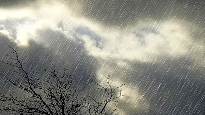
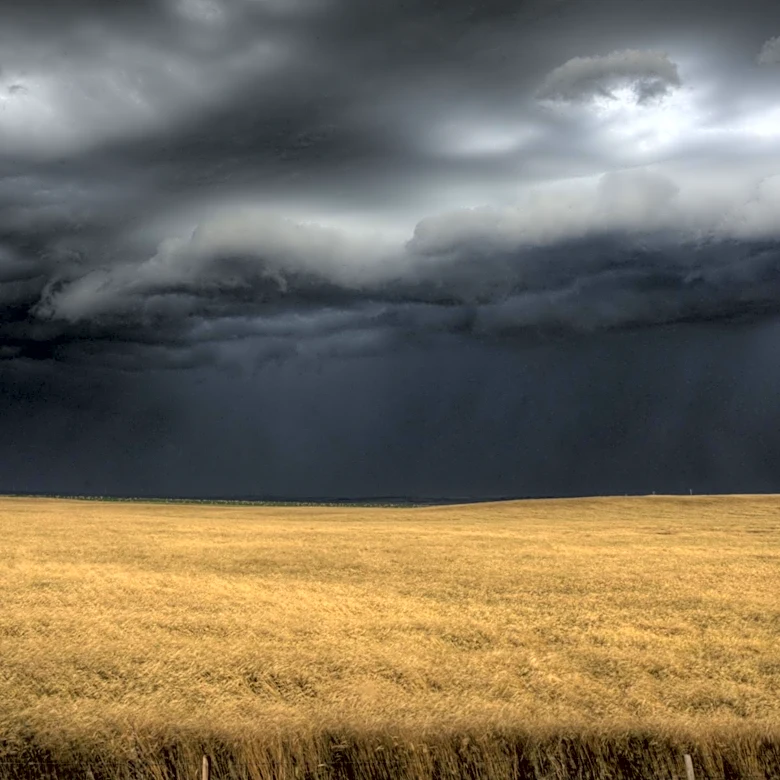
Monsoon winds are currently influencing the entirety of Nepal, with the monsoon low-pressure line positioned north of its usual location. The Meteorological Forecasting Division has indicated that several parts of the country are likely to experience
heavy rainfall and thunderstorms. The Himalayan and hilly areas of Koshi, Bagmati, and Gandaki provinces are at the highest risk for heavy rainfall. Additionally, hilly areas of Karnali, and the hilly and Terai regions of Lumbini and Sudurpashchim provinces are also expected to receive significant precipitation. Moderate rain accompanied by thunder and lightning is anticipated across many parts of the country, with Himalayan areas of Koshi, Bagmati, and Gandaki potentially experiencing moderate rain or snowfall with thunderstorms. The Kathmandu Valley is forecast to remain cloudy with a 70% chance of rain and thunderstorms, and maximum temperatures between 27–29°C. Tarai plains, including Dhangadi and Nepalgunj, are also expected to see widespread rainfall and thunderstorms.
Why It's Important?
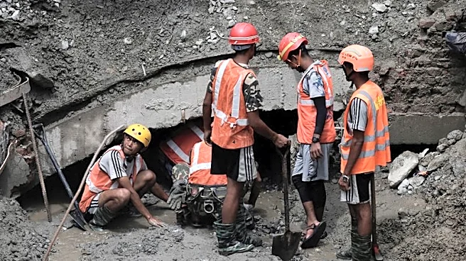
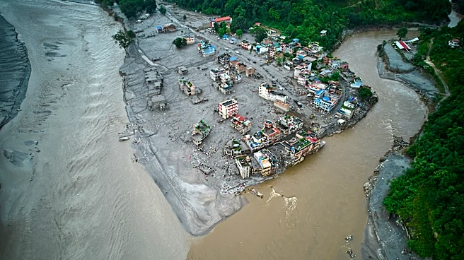
The widespread heavy rainfall and thunderstorms across Nepal carry significant implications for public safety, infrastructure, and agriculture. Increased rainfall in hilly and Himalayan regions heightens the risk of landslides and flash floods, which can lead to loss of life, displacement of communities, and damage to homes and transportation networks. Agricultural sectors, particularly in the Terai plains, could face both benefits from adequate water supply for crops and risks from excessive flooding that can destroy standing crops and delay planting. The disruption of daily life due to severe weather, including potential power outages and transportation delays, can also impact local economies and emergency services. The positioning of the monsoon trough north of its normal location suggests a broader weather pattern that could lead to prolonged periods of intense rainfall, necessitating continuous monitoring and preparedness measures from local authorities and residents.
What's Next?
Rain and thunderstorms are expected to persist throughout the night, with heavy rainfall continuing to be concentrated in the hilly areas of Koshi, Bagmati, and Gandaki provinces. Authorities will likely issue further advisories and warnings as weather patterns evolve, particularly for regions prone to landslides and flooding. Residents in high-risk areas are advised to remain vigilant and take necessary precautions. Emergency services will need to be on standby to respond to any weather-related incidents. Farmers will need to assess the impact on their crops and adjust their agricultural practices accordingly. The Meteorological Forecasting Division will continue to monitor the monsoon's progression and provide updated forecasts to help the public and relevant agencies prepare for ongoing weather challenges.
Beyond the Headlines
The consistent influence of monsoon winds and the northward shift of the monsoon trough highlight the dynamic and often unpredictable nature of regional weather systems, which can be exacerbated by broader climate patterns. Such intense and widespread rainfall events underscore the need for robust disaster preparedness and climate resilience strategies in Nepal. Long-term implications include potential changes in water resource management, as altered rainfall patterns can affect water availability for irrigation and hydropower. There is also an ongoing need for investment in early warning systems and infrastructure that can withstand extreme weather events. The recurring nature of these monsoon-related challenges emphasizes the importance of sustainable land use practices, reforestation efforts, and community-based disaster risk reduction programs to mitigate the long-term impacts on vulnerable populations and ecosystems.