


What's Happening?
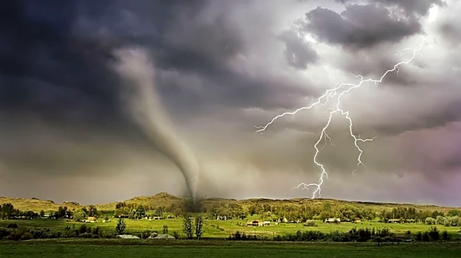
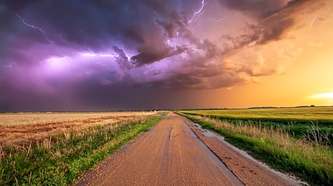
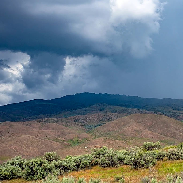
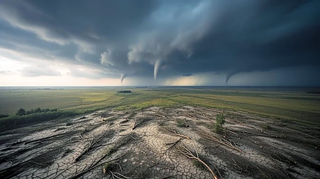
A flood watch has been issued for several counties in Illinois and Indiana as severe thunderstorms are expected to hit the region. The affected areas in Illinois include Will, Ford, Cook, DuPage, Iroquois, Kane, Kankakee, Kendall, LaSalle, Lake, and Livingston
counties. In Indiana, the watch covers Benton, Jasper, Lake, Newton, and Porter counties. Weather officials have warned of torrential rainfall capable of producing at least two inches of rain per two hours, with some areas potentially seeing two inches per hour. The high soil moisture and elevated stream flows increase the risk of creeks and streams rising from their banks. Additionally, a beach hazard warning is in effect for Lake Michigan, with waves expected to reach four to seven feet, posing dangerous conditions for swimmers.
Why It's Important?
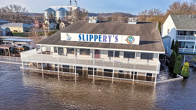
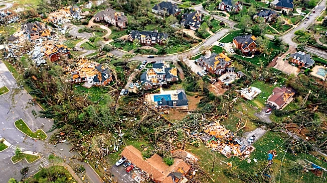
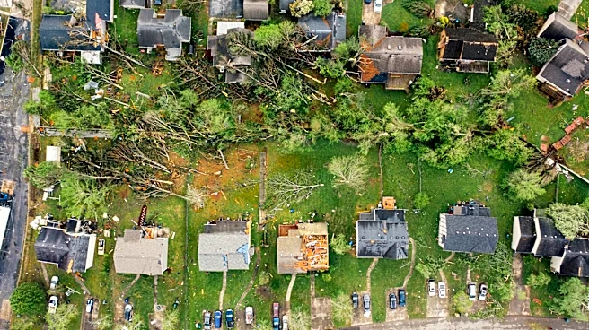
The severe weather poses significant risks to the affected regions, including potential flash flooding, property damage, and disruptions to daily life. The heavy rainfall and strong winds could lead to power outages, road closures, and hazardous travel conditions. The beach hazard warning also highlights the dangers to public safety along Lake Michigan. These conditions could strain local emergency services and require coordinated responses to ensure public safety. The economic impact could be substantial, affecting businesses, transportation, and infrastructure in the region.
What's Next?
Residents in the affected areas are advised to stay informed about weather updates and be prepared to take action if necessary. Local authorities may issue further warnings or advisories as the situation develops. Emergency services are likely to be on high alert to respond to any incidents resulting from the severe weather. The public is encouraged to avoid unnecessary travel and to exercise caution near bodies of water.