
What's Happening?
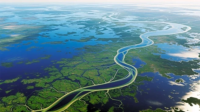
NASA's Observational Products for End-Users from Remote Sensing Analysis (OPERA) project has released detailed radar images capturing extensive flooding in Mozambique, particularly around the city of Xai-Xai
along the Limpopo River. The images, taken by the C-Band SAR instrument aboard ESA's Sentinel-1A platform, utilize terrain-corrected radar technology to provide all-weather, day-and-night imaging of Earth's surface. These images are displayed in false-color to enhance visual interpretation, showing vegetated areas in green, urban areas in white or pink, and flooded areas in black. The OPERA project, managed by the Jet Propulsion Laboratory, aims to address Earth observation needs across U.S. civilian federal agencies by providing high-resolution remote sensing products.
Why It's Important?
The release of these images is significant as it underscores the capabilities of advanced remote sensing technology in monitoring and responding to natural disasters. By providing detailed and timely data, NASA's OPERA project aids in disaster management and mitigation efforts, offering critical information to both local and international agencies involved in relief operations. This technology not only enhances the understanding of flood dynamics but also supports planning and decision-making processes in affected regions. The ability to monitor such events in near real-time is crucial for minimizing the impact on human lives and infrastructure.
What's Next?
As NASA continues to migrate its Earth science data into the Earthdata system, more comprehensive and accessible datasets will become available to researchers and policymakers. This transition is expected to enhance the ability of various stakeholders to utilize remote sensing data for environmental monitoring and disaster response. The ongoing development of the OPERA project will likely lead to further advancements in the accuracy and application of remote sensing technologies, potentially expanding their use in other areas such as climate change monitoring and agricultural management.
Beyond the Headlines
The use of false-color imaging in the OPERA project highlights the importance of innovative visualization techniques in interpreting complex data. By transforming radar backscatter data into easily interpretable images, these techniques allow for a more intuitive understanding of environmental changes. This approach not only benefits scientific research but also improves public awareness and engagement with environmental issues. As remote sensing technology continues to evolve, it may also raise ethical considerations regarding data privacy and the potential for surveillance.