


What's Happening?
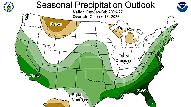
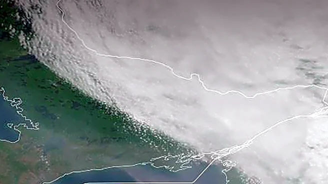
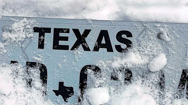
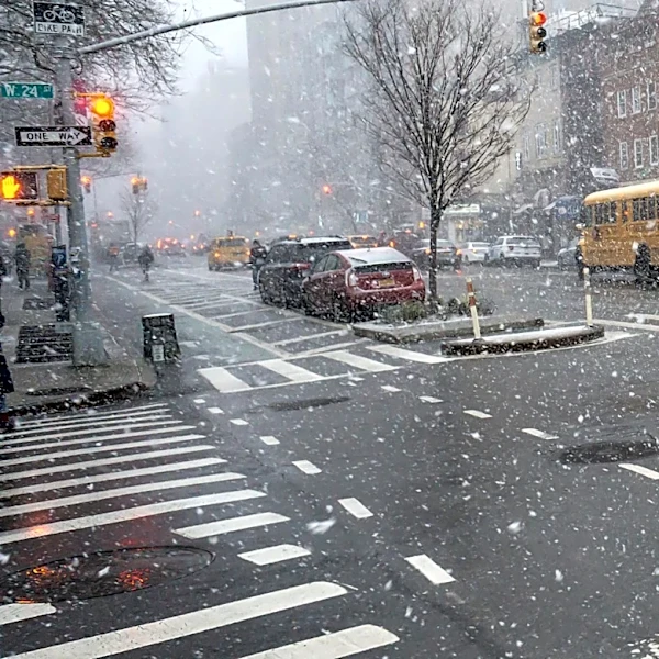
A record-strength El Niño is anticipated to bring a wetter and colder winter to Texas and the Gulf Coast. El Niño is a natural climate pattern characterized by warmer-than-average temperatures in the central Pacific Ocean, which occurs every 2 to 7 years.
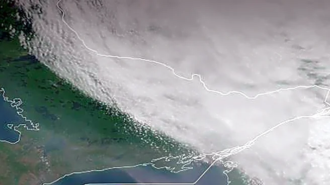
What makes the current event unique is the unusually high ocean temperatures, with some areas of the eastern tropical Pacific more than 7°F warmer than average, making it potentially the strongest El Niño observed since records began in 1950. This warming shifts the jet stream, leading to a stronger and more active southern branch, which brings more storms and cold fronts across the southern United States, including Texas and the Gulf Coast.
Why It's Important?
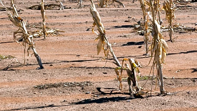
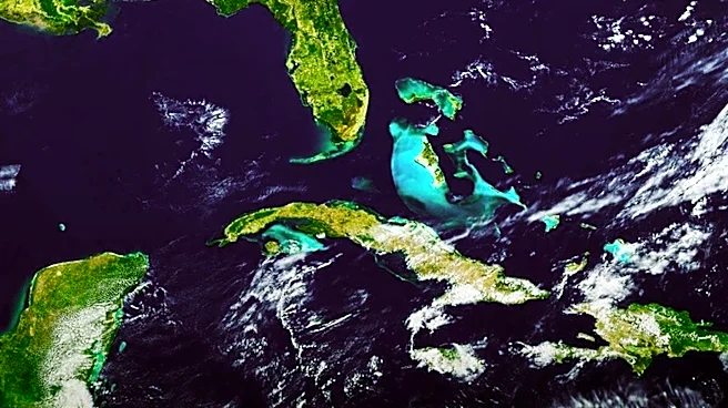
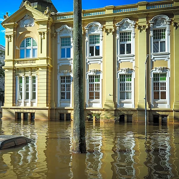
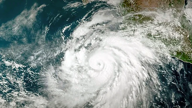
The forecast for a wetter and colder winter has significant implications for Texas and the Gulf Coast. Increased precipitation can help alleviate drought conditions that have affected parts of the state, benefiting agriculture and water reservoirs. However, it also raises the risk of flooding, particularly in areas prone to heavy rainfall. The more active jet stream means a higher chance of cold fronts, which could lead to colder temperatures than typically experienced in these regions. This could impact energy demand, infrastructure, and public safety. For the agricultural sector, while increased moisture is generally positive, excessive rain or sudden cold snaps could pose challenges for certain crops. The shift in weather patterns also affects hurricane season, as El Niño typically brings strong upper-level wind shear over the Atlantic, making it harder for hurricanes to develop and strengthen, as observed in the current season.
What's Next?
As this exceptionally strong El Niño is expected to persist through winter, residents and authorities in Texas and the Gulf Coast should prepare for increased rainfall and potentially colder temperatures. This includes reviewing flood preparedness plans, ensuring homes are adequately insulated, and monitoring local weather advisories. Water management districts will need to balance the benefits of increased rainfall for drought relief with the risks of flooding. Businesses, especially those in agriculture, energy, and construction, will need to factor these weather predictions into their operational planning. The ongoing monitoring of this El Niño event will be crucial for refining forecasts and adapting to its evolving impacts.
Beyond the Headlines
The current record-strength El Niño underscores the profound influence of oceanic phenomena on regional weather and climate. The historical context, with this event potentially being the strongest in modern records, highlights the dynamic nature of Earth's climate system and the potential for extreme variations. While El Niño is a natural cycle, its intensity in an era of global warming prompts questions about how climate change might be influencing or amplifying such events. The dual impact of potentially alleviating drought while increasing flood risk illustrates the complex challenges of climate adaptation, requiring nuanced and flexible strategies. This event serves as a powerful reminder of the interconnectedness of global climate patterns and their tangible effects on local communities and economies.