


What's Happening?
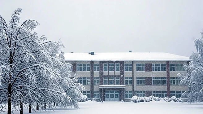
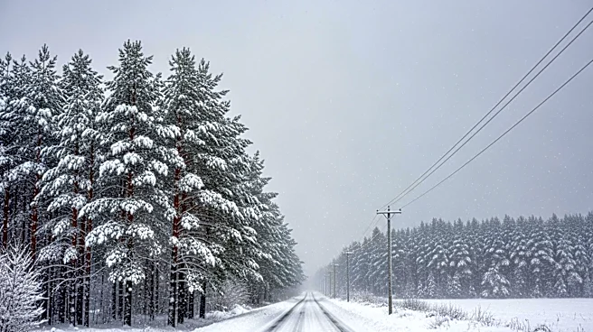
A late-season winter storm is impacting Colorado and Wyoming, bringing up to 14 inches of heavy, wet snow in the highest mountain areas. The National Weather Service (NWS) has issued warnings for hazardous travel conditions due to the risk of downed trees
and powerlines, which could lead to scattered power outages. The storm is affecting travel across mountain corridors and the Front Range in Colorado, with school districts announcing closures for May 6. Areas such as Rocky Mountain National Park, the Medicine Bow Range, and northern Front Range foothill communities are expected to receive significant snowfall. The storm is also affecting lower elevations, including Denver and surrounding areas, with slippery roads and dangerous commutes anticipated.
Why It's Important?
The storm's impact is significant as it disrupts daily life in Colorado and Wyoming, particularly affecting transportation and education. The closure of schools and the potential for power outages highlight the storm's severity. The heavy snow poses a risk to infrastructure, with the weight potentially causing damage to trees and powerlines. This event underscores the challenges of late-season storms in these regions, affecting residents' safety and mobility. The economic implications include potential costs related to infrastructure repair and the impact on local businesses due to reduced consumer mobility.
What's Next?
As the storm progresses, residents are advised to prepare for continued hazardous conditions. The NWS recommends carrying emergency supplies and checking road conditions before traveling. Authorities will likely focus on clearing roads and restoring power where outages occur. The storm's aftermath may involve assessing damage to infrastructure and addressing any long-term impacts on the affected communities. Continued monitoring of weather conditions will be crucial to ensure public safety and minimize disruptions.