






What's Happening?
A magnitude 5.2 earthquake occurred off the southern coast of Peru on Sunday, as reported by the United States Geological Survey. The seismic event took place at 8:43 a.m. local time, with its epicenter located 18 kilometers (11 miles) southeast of Camaná,
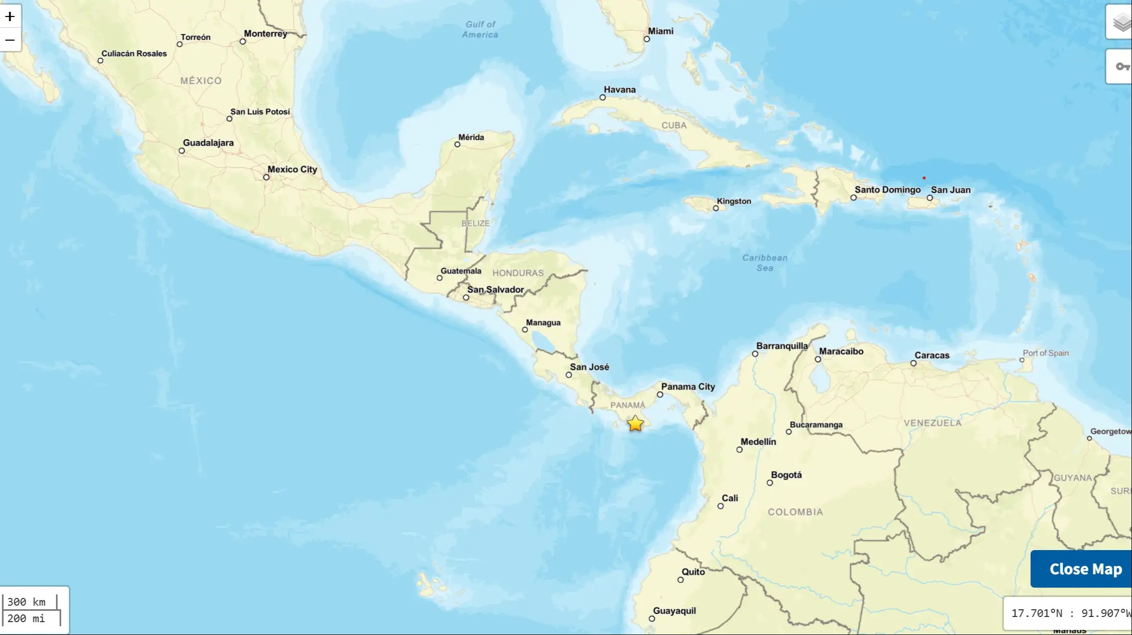
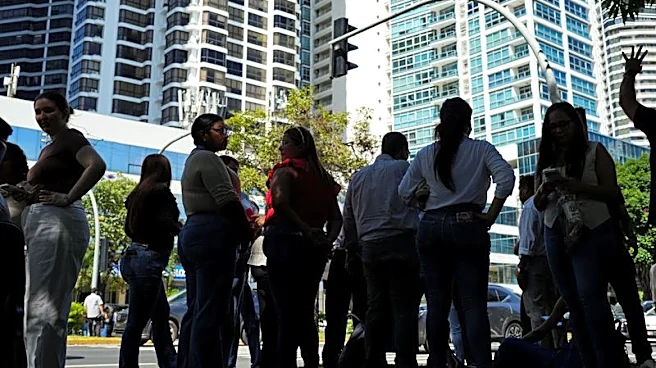
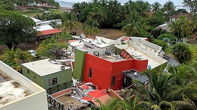
a city in the Arequipa department. The earthquake's depth was recorded at 44.9 kilometers (28 miles). Peruvian authorities have confirmed that there were no immediate reports of damage or casualties resulting from the quake. Peru’s Emergency Operations Center stated via social media that residents experienced shaking ranging from 'light to moderate.' The agency also assessed and ruled out any tsunami risks, and evaluations of potentially vulnerable areas are currently underway. This event follows a magnitude 7.7 earthquake that struck Panama on Friday, injuring 27 people, and previous quakes in Peru in August (magnitude 6.7) and July (magnitude 5.5), which caused injuries, damage, and fatalities.
Why It's Important?
This earthquake highlights Peru's geological vulnerability as it is situated along the 'Ring of Fire,' a vast 40,000-kilometer (25,000-mile) arc of volcanoes and fault lines encircling the Pacific Basin. This region is known for experiencing the majority of the world's earthquakes. While this particular event caused no damage or casualties, it serves as a reminder of the constant seismic activity in the area and the ongoing need for preparedness and robust infrastructure. The quick assessment by Peru’s Emergency Operations Center to rule out tsunami risks and evaluate vulnerable areas demonstrates the importance of established emergency response protocols in seismically active regions. The absence of significant impact from this 5.2 magnitude quake, especially when compared to recent, more damaging earthquakes in Peru and Panama, underscores the variable nature of seismic events and the critical role of earthquake depth and specific geological conditions in determining their destructive potential.
What's Next?
Following the magnitude 5.2 earthquake, Peruvian authorities, particularly the Emergency Operations Center, will continue their assessments of vulnerable areas to ensure there are no delayed reports of damage or structural integrity issues. Residents in the affected coastal region will likely remain vigilant, given the area's history of seismic activity. The event may prompt ongoing public awareness campaigns regarding earthquake preparedness and safety measures. For the broader region along the Pacific Ring of Fire, this earthquake, along with recent events in Panama, reinforces the continuous need for international cooperation in seismic monitoring and early warning systems. Scientists and geological agencies will likely analyze the seismic data from this event to better understand regional fault lines and earthquake patterns, contributing to long-term hazard assessments and mitigation strategies for communities in earthquake-prone zones.
Beyond the Headlines
The recurring seismic activity in Peru and across the Pacific Ring of Fire underscores a deeper, ongoing challenge for nations in these regions: balancing economic development with resilient infrastructure and effective disaster preparedness. While individual earthquakes like this one may not cause immediate widespread devastation, the cumulative effect of frequent seismic events can strain resources, impact long-term development plans, and necessitate continuous investment in earthquake-resistant building codes and public education. The 'Ring of Fire' is not just a geological feature but a constant reminder of the dynamic forces shaping our planet, influencing everything from urban planning and insurance markets to cultural perceptions of risk and community resilience. For the U.S., which also has significant populations along the Ring of Fire (e.g., California, Alaska), these events in other nations serve as critical case studies for improving domestic preparedness and response strategies.