


What's Happening?
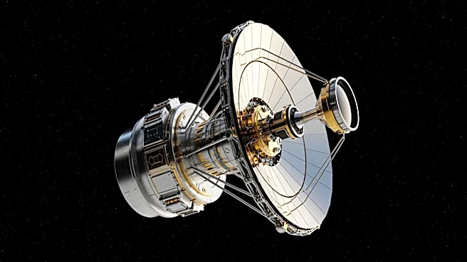
NASA is leveraging satellite technology through its Harvest and Acres programs to assist farmers and policymakers in understanding crop conditions, weather impacts, and global food supply risks. Mike Humber, a leader in these initiatives, explained that
satellite remote sensing is used to monitor agricultural systems worldwide, incorporating data on weather patterns and supply chain disruptions. This technology allows for the analysis of long-term trends, with over 50 years of satellite data enabling comparisons to past 'analog years' to forecast outcomes. This helps farmers make informed decisions in the face of risks such as drought, frost, or shifting weather patterns linked to events like El Niño.
Why It's Important?
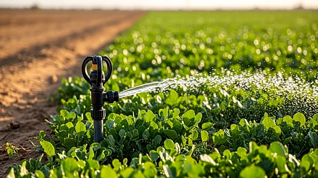
The use of satellite technology in agriculture is crucial as it provides consistent and actionable insights that can help farmers and industry leaders navigate complex challenges. With global issues such as extreme weather and geopolitical tensions affecting agriculture, NASA's programs offer valuable data that can inform decision-making processes. This technology is particularly important in times of conflict or disaster, as it allows for the assessment of crop damage and monitoring of food production without on-the-ground access. By providing reliable estimates and mapping affected areas, NASA's satellite imagery supports the agricultural sector in adapting to changing conditions.
What's Next?
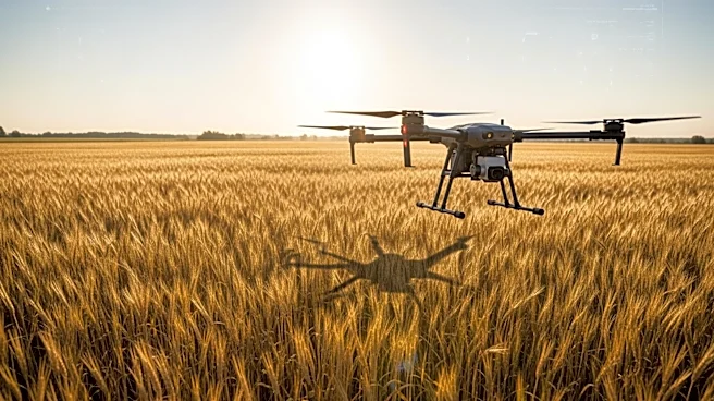
As NASA continues to develop and refine its satellite technology, the agricultural sector can expect more precise and comprehensive data to aid in decision-making. The ongoing integration of satellite imagery into agricultural practices may lead to improved forecasting and risk management strategies. Stakeholders, including farmers and policymakers, will likely continue to rely on these insights to address challenges posed by climate change and geopolitical tensions. Future advancements in satellite technology could further enhance the ability to monitor and respond to agricultural disruptions globally.
Beyond the Headlines
The ethical implications of using satellite technology in agriculture include considerations of data privacy and the potential for unequal access to these insights. As technology becomes more integrated into farming practices, there may be discussions around ensuring equitable access to data and resources for all farmers, particularly those in developing regions. Additionally, the cultural shift towards data-driven agriculture may influence traditional farming methods and practices, prompting a reevaluation of how technology is used in the industry.