






What's Happening?
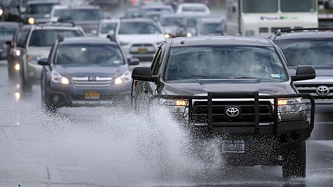
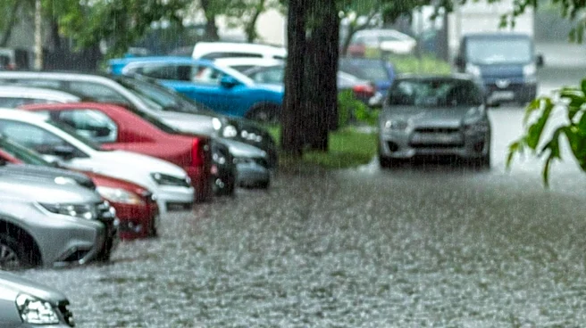
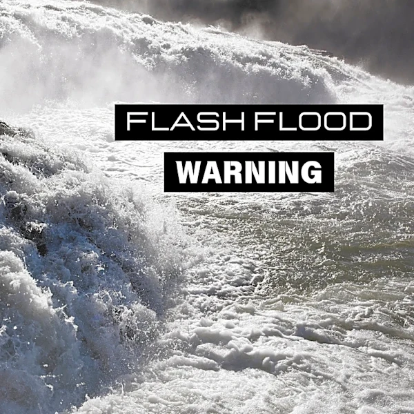
The D.C. area is bracing for severe storms and potential flash flooding as a slow-moving storm system brings multiple rounds of showers and thunderstorms. The National Weather Service has issued a flash flood watch for large parts of the region, including
Northern Virginia and several Maryland counties. The storms are expected to bring heavy rain and damaging winds, with the potential for flooding in low-lying areas. Local airports have experienced ground stops due to the weather, and residents are advised to exercise caution on the roads.
Why It's Important?
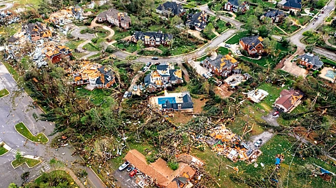
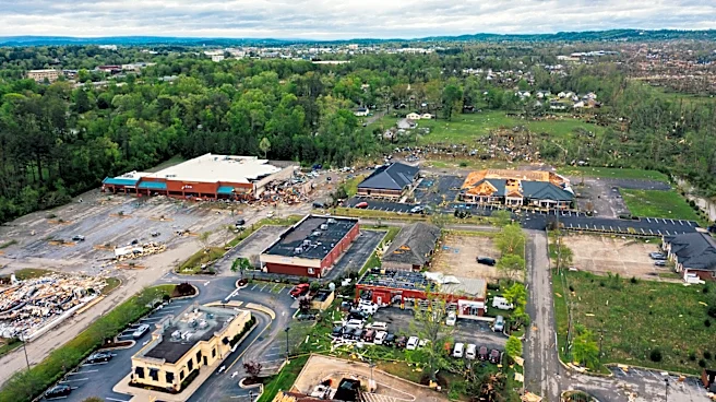
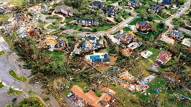
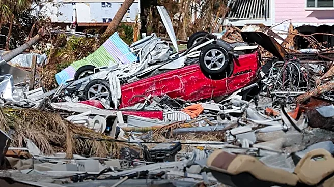
The severe weather poses significant risks to public safety and infrastructure in the D.C. area. Flash flooding can lead to road closures, property damage, and disruptions to daily life. The storm system also highlights the challenges of managing urban environments during extreme weather events, emphasizing the need for effective emergency response and infrastructure resilience. The economic impact could be substantial, affecting businesses, transportation, and local government resources. The situation underscores the importance of preparedness and timely communication from authorities to mitigate risks.
What's Next?
The unsettled weather pattern is expected to continue through the week, with daily chances of showers and thunderstorms. Authorities will monitor the situation closely, providing updates and warnings as needed. Residents are encouraged to stay informed and take precautions to protect themselves and their property. The ongoing weather conditions may prompt further emergency measures, including potential evacuations or road closures, depending on the severity of the storms.