


What's Happening?
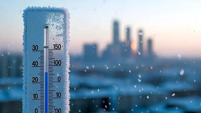
The New York City area is experiencing the coldest air of the season, with wind chills dropping into the single digits. This frigid weather is expected to persist throughout the week, with temperatures potentially dipping below zero. Highs are forecasted
to remain in the 20s, while lows will be in the teens. A brief respite is anticipated midweek, with temperatures rising into the 30s and lower 40s on Thursday. However, another wave of arctic air is set to arrive over the weekend, bringing wind chills back into the single digits. Additionally, there is a potential for a significant snowfall event over the weekend, although it is too early to predict the exact accumulation or location of the heaviest snow.
Why It's Important?
The arrival of such cold temperatures and potential snowfall could have significant impacts on the daily lives of residents in the New York City area. The cold weather poses risks to those without adequate heating or shelter, and the potential snowstorm could disrupt transportation and daily activities. Businesses and schools may face closures or delays, and public services could be strained as they respond to weather-related incidents. The economic impact could be notable, particularly for industries reliant on transportation and logistics. Additionally, the cold weather could lead to increased energy consumption as residents and businesses seek to stay warm, potentially straining the energy grid.
What's Next?
As the weekend approaches, weather models will continue to be monitored to provide more accurate predictions regarding the potential snowfall. Residents and businesses should prepare for the possibility of significant snow and cold weather by ensuring they have adequate supplies and heating. Local authorities may issue advisories or warnings as the situation develops, and public services will likely be on alert to respond to any weather-related emergencies. It will be important for residents to stay informed through local news and weather updates.