What's Happening?
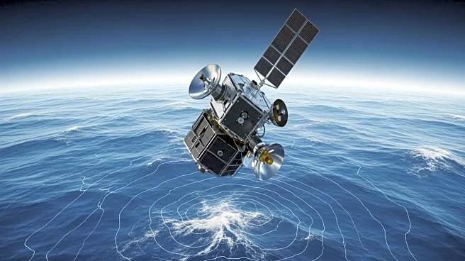
The Sentinel 6B satellite, a successor to the Sentinel 6 Michael Freilich, is scheduled for launch next month. Named after the late oceanographer Michael Freilich, the Sentinel 6 series continues a legacy of ocean topography satellites that began with TOPEX-Poseidon in 1992. These satellites measure ocean height with high precision, monitoring heat, water, and carbon distribution in the climate system. The Sentinel 6B will work concurrently with its predecessor for a time, ensuring data accuracy before taking over the mission. This satellite is part of a collaborative effort between European and U.S. space agencies, aimed at providing critical data for ocean and climate monitoring.
Why It's Important?
Ocean topography satellites like Sentinel 6B play a vital role in global trade and safety by providing accurate forecasts of ocean currents, storms, and high winds. This data is crucial for shipping routes, helping to avert potential disasters at sea. Additionally, the satellites contribute to climate research by tracking long-term changes in ocean patterns, which are essential for understanding climate change impacts. The collaboration between international space agencies highlights the importance of shared data in addressing global challenges, benefiting both scientific research and practical applications in navigation and disaster response.
What's Next?
The Sentinel 6B satellite is expected to begin providing data in early 2026 after its launch and calibration phase. As it joins the existing Sentinel 6 Michael Freilich, the two satellites will ensure continuity in ocean monitoring. The data collected will be used to improve weather forecasts and climate models, potentially influencing policy decisions related to climate change and environmental protection. The ongoing collaboration between space agencies may lead to further advancements in satellite technology and international cooperation in space exploration.


