


What's Happening?
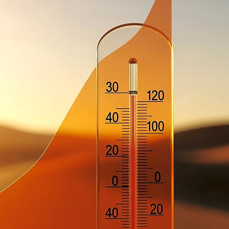
The Tri-State Area is experiencing a cold Monday night, as reported by Scott Padgett on CBS News New York. The weather forecast indicates that temperatures will drop significantly, leading to a chilly evening for residents. However, the cold spell is expected
to be short-lived, with warmer weather anticipated to return on Tuesday. This forecast is part of the First Alert Weather update, which provides timely and accurate weather information to help residents plan their activities. The cold weather is a result of a weather pattern affecting the region, but it is expected to shift, bringing back milder conditions by the next day.
Why It's Important?
Weather conditions have a significant impact on daily life, affecting everything from transportation to personal plans. The cold temperatures on Monday night could lead to increased heating costs for residents and potential disruptions in outdoor activities. However, the forecasted return to warmer weather on Tuesday is likely to alleviate these concerns, allowing for a resumption of normal activities. Accurate weather forecasts are crucial for residents to make informed decisions about their day-to-day activities, ensuring safety and comfort. The quick transition from cold to warmer weather highlights the dynamic nature of weather patterns in the Tri-State Area.
What's Next?
Residents can expect a return to more typical spring weather conditions on Tuesday, with temperatures rising to more comfortable levels. This change will likely lead to increased outdoor activities and a reduction in heating needs. The First Alert Weather team will continue to monitor the situation and provide updates as necessary, ensuring that residents are well-informed about any further changes in the weather. It is advisable for residents to stay updated with the latest forecasts to plan their activities accordingly.