


What is the story about?
What's Happening?
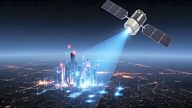
Researchers at the Norwegian University of Science and Technology have developed a new system to enhance GPS accuracy in urban environments, where tall buildings and reflective surfaces often disrupt satellite signals. This system, known as SmartNav, integrates various technologies to correct GPS signals, making it particularly useful for autonomous vehicles navigating 'urban canyons.' The team collaborated with Google, utilizing 3D models of buildings to predict satellite signal reflections, thereby improving position estimates. The solution combines PPP-RTK technology, which offers precise corrections with satellite signals, making it accessible to the general public.
Why It's Important?
Improving GPS accuracy in cities is crucial for the safe operation of autonomous vehicles, which rely heavily on precise location data. The development of SmartNav addresses the challenges posed by urban environments, where GPS signals are often inaccurate due to reflections and obstructions. By enhancing GPS precision, this technology could lead to more reliable autonomous driving, potentially reducing accidents and improving traffic flow. Additionally, the use of PPP-RTK technology makes high-accuracy GPS accessible to a broader audience, which could spur innovation in various sectors reliant on precise geolocation data.
What's Next?
The integration of SmartNav into navigation systems for autonomous vehicles could lead to widespread adoption, particularly in cities with complex urban landscapes. As the technology becomes more accessible, it may also be applied to other industries that require precise location data, such as logistics and urban planning. Continued collaboration with companies like Google could further refine the system, enhancing its accuracy and reliability. Stakeholders in the autonomous vehicle industry are likely to monitor these developments closely, considering potential partnerships and investments.
Beyond the Headlines
The advancement of GPS technology in urban areas raises ethical and privacy concerns, particularly regarding the collection and use of detailed location data. As GPS systems become more precise, there may be increased scrutiny over how this data is stored and shared, necessitating robust privacy protections. Additionally, the widespread implementation of such technology could lead to shifts in urban infrastructure planning, as cities adapt to accommodate autonomous vehicles and other GPS-reliant technologies.