





What's Happening?
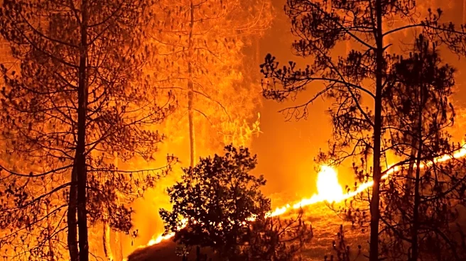
Laramie County has introduced a new interactive map as part of its updated Community Wildfire Protection Plan (CWPP) and 2026 Wildland Fire Management Annual Operating Plan. The Laramie County Board of Commissioners approved these plans, which outline
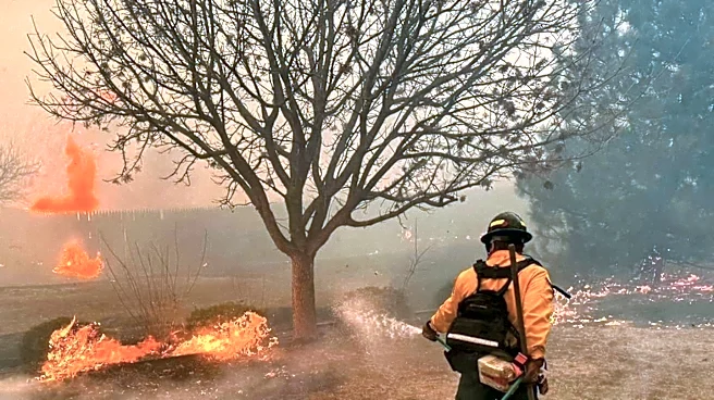
the county's comprehensive fire mitigation strategy. The interactive map aims to make wildfire risk information and mitigation strategies more accessible to residents. It features various layers, including hazard zones rated by fire risk, recommended treatment areas for mitigation, and historical fire perimeters. Laramie County Fire Warden Matt Butler emphasized that the map helps residents understand their local fire risk and how they can contribute to mitigation efforts, such as creating defensible spaces and strategic mow lines, particularly in areas prone to west-to-east fire spread due to prevailing winds.
Why It's Important?
The launch of this interactive map is a significant step in enhancing community resilience against wildfires in Laramie County. By providing easily accessible, localized information, the county empowers residents to take proactive measures in protecting their properties and lives. Wildfires pose a substantial threat to communities, especially in areas with wildland-urban interfaces, and effective mitigation requires a collaborative effort between local authorities and landowners. This tool not only educates but also guides specific actions, such as where to establish defensible spaces or mow lines, which can critically slow or stop fire progression. This initiative could serve as a model for other counties facing similar wildfire risks, demonstrating how technology can be leveraged to improve public safety and foster community engagement in environmental protection efforts.
What's Next?
Laramie County officials will likely promote the new interactive map to encourage widespread resident engagement and utilization. Public outreach campaigns, workshops, and community meetings may be organized to educate residents on how to use the map and implement recommended mitigation strategies. The county will also monitor the effectiveness of the plan and the map in reducing wildfire risks, potentially updating the data and features based on feedback and evolving environmental conditions. Continued collaboration between county fire officials, local fire chiefs, and landowners will be crucial for the ongoing success of the wildfire protection plan. The data collected and the community's response will inform future iterations of the plan and potentially lead to further enhancements in wildfire preparedness and response capabilities.
Beyond the Headlines
This initiative reflects a broader trend in disaster preparedness, where local governments are increasingly using technology to democratize critical information and foster community-led resilience. The interactive map moves beyond traditional, static emergency plans by offering dynamic, personalized insights into wildfire risks. This approach not only enhances public safety but also cultivates a sense of shared responsibility between government and citizens in managing environmental hazards. Furthermore, it highlights the growing recognition that effective wildfire management requires a holistic strategy that integrates scientific data, community participation, and adaptive planning. The success of such tools can influence policy decisions regarding funding for similar technological solutions in other vulnerable regions, ultimately contributing to a more informed and prepared populace in the face of escalating climate-related challenges.