




What's Happening?
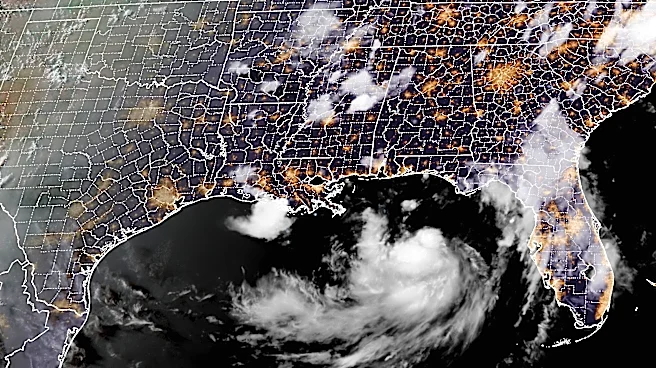
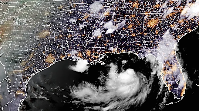
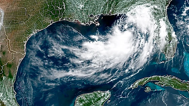
Tropical Storm Bertha has formed and is advancing towards the Gulf Coast, prompting a series of tropical storm warnings and storm surge alerts from the Florida Panhandle to southern Louisiana. The National Hurricane Center reports that Bertha is currently
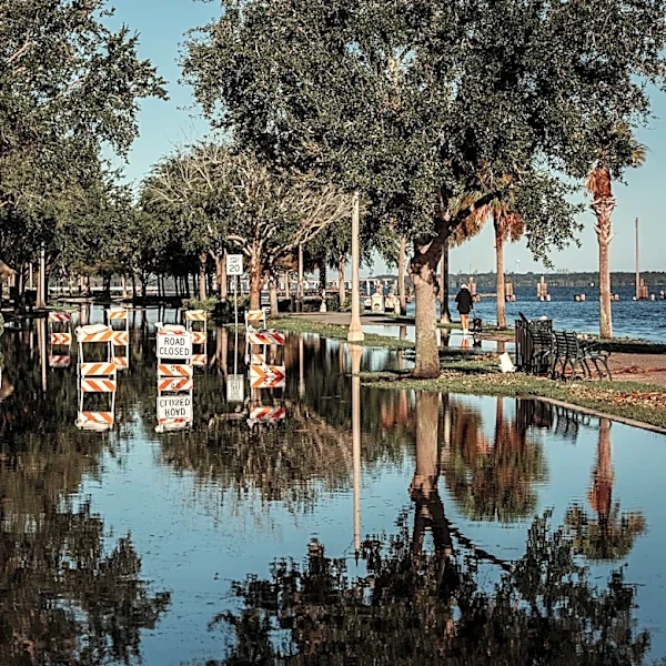
located approximately 110 miles south-southwest of Panama City, Florida, moving northwest at 5 mph with sustained winds of 50 mph. The storm is expected to continue on a northwestward to west-northwestward path before turning west mid-week, potentially impacting the northern Gulf coastline. The NOAA Hurricane Hunter aircraft is actively tracking the storm, which poses a significant threat of urban flash flooding with expected rainfall totals of 2 to 4 inches, and isolated areas receiving up to 6 inches. Coastal areas are also under a Storm Surge Watch, with potential water inundation reaching 2 to 4 feet above ground level.
Why It's Important?
The approach of Tropical Storm Bertha is significant due to its potential to cause widespread flooding and damage along the Gulf Coast. The affected regions, including parts of Alabama, Florida, and Louisiana, are at risk of experiencing severe weather conditions, which could disrupt daily life and economic activities. The storm's impact on infrastructure, particularly in low-lying areas prone to flooding, could lead to costly repairs and recovery efforts. Additionally, the storm surge and heavy rainfall could pose a threat to public safety, necessitating emergency preparedness and response measures. The economic implications are also notable, as businesses and homeowners may face property damage and insurance claims, affecting local economies.
What's Next?
As Tropical Storm Bertha continues its path, residents in the Gulf Coast region are advised to prepare for potential evacuations and to secure their properties against wind and flood damage. Emergency services and local governments are likely to monitor the storm closely, ready to implement evacuation plans if necessary. The storm's progression will be closely watched by meteorologists to provide timely updates and warnings. Residents are encouraged to stay informed through official channels and to have contingency plans in place, including fully charged communication devices and emergency supplies.