


What's Happening?
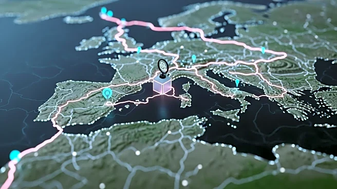
Researchers have launched Itiner-e, an interactive digital map that traces 300,000 kilometers of ancient Roman roads. This project reveals a more extensive network than previously believed, spanning Europe, Great Britain, North Africa, and the Middle
East. The map allows users to explore road segments with metadata, construction dates, and overlays of modern infrastructure. The initiative aims to provide insights into the movement of people, goods, and ideas in ancient times, potentially informing current challenges.
Why It's Important?
The digitization of Roman roads offers valuable historical data that can enhance understanding of ancient connectivity and its impact on modern infrastructure. By examining the extensive network, researchers can gain insights into historical trade routes, cultural exchanges, and the spread of ideas and diseases. This knowledge may inform contemporary urban planning and transportation strategies, highlighting the importance of efficient connectivity.
What's Next?
The researchers acknowledge the limitations of their map and call for further investigation into the chronological evidence of road creation and changes. Future studies may expand on this work, providing more detailed insights into the Roman Empire's infrastructure. The project may inspire similar digitization efforts for other historical networks, contributing to a broader understanding of ancient civilizations.