






What's Happening?
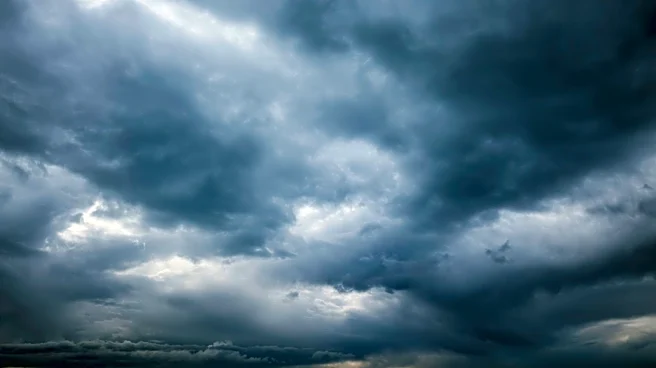
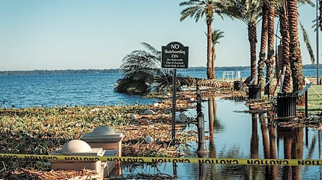
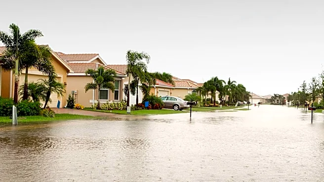
Meteorologists in Jacksonville, Florida, are forecasting a stormy weekend for Northeast Florida and Southeast Georgia, with showers and thunderstorms expected to develop throughout Saturday and Sunday. The storms could lead to dangerous flooding, particularly
in low-lying and urban areas along the I-75 corridor. Wind gusts are predicted to reach 40-55 mph, with the potential for stronger gusts up to 60 mph on Sunday. Despite the stormy conditions, temperatures will remain warm, with highs in the upper 80s to low 90s and overnight lows in the 70s.
Why It's Important?
The anticipated severe weather poses a risk to residents in the affected areas, particularly those in flood-prone regions. The potential for damaging winds and flooding could lead to property damage, power outages, and disruptions to daily life. Local authorities and emergency services may need to prepare for increased calls for assistance and potential evacuations. The weather conditions also highlight the importance of community preparedness and the need for residents to stay informed through local weather updates.
What's Next?
Residents are advised to monitor weather reports and heed any warnings or advisories issued by local authorities. Preparations for potential flooding and power outages should be made, including securing outdoor items and ensuring emergency supplies are on hand. The situation will continue to be monitored by meteorologists, with updates provided as conditions develop.