What's Happening?
A prolonged winter weather system is set to affect Israel, bringing heavy rainfall in waves over several days. Starting Saturday, the system will focus on the coastal plain from Tel Aviv southward, with
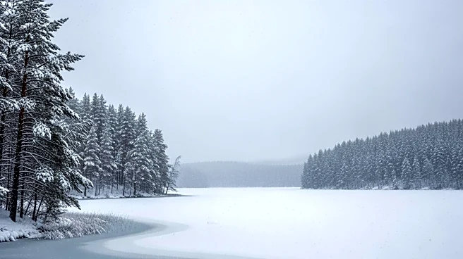
significant rain expected in the north and snowfall on Mount Hermon. Dr. Amir Givati from the Israel Meteorological Service highlighted that the system will consist of multiple waves, with the most severe impact anticipated on Sunday, particularly in southern Israel. The Negev and areas near the Gaza border are at high risk of flooding. Authorities have advised the public to avoid hiking in streambeds and to follow local and national instructions. Despite the southern focus, Mount Hermon is expected to receive substantial snowfall, potentially allowing the ski site to open.
Why It's Important?
The anticipated heavy rainfall and potential flooding pose significant risks to infrastructure and public safety in southern Israel. The unusual weather pattern, with southern regions receiving more rain than the typically wetter north, reflects broader climate change trends. This shift could have long-term implications for water management and agricultural planning in the region. The expected flooding could disrupt daily life, necessitating emergency responses and potentially causing economic losses. The situation underscores the need for effective disaster preparedness and climate adaptation strategies.
What's Next?
As the weather system progresses, authorities will likely monitor flood-prone areas closely and may issue further advisories or emergency measures. The public is advised to stay informed through official channels and to prepare for possible disruptions. The situation may prompt discussions on improving infrastructure resilience and adapting to changing weather patterns. The potential opening of the Mount Hermon ski site could provide a boost to local tourism, offering a positive economic impact amid the challenging weather conditions.