What's Happening?
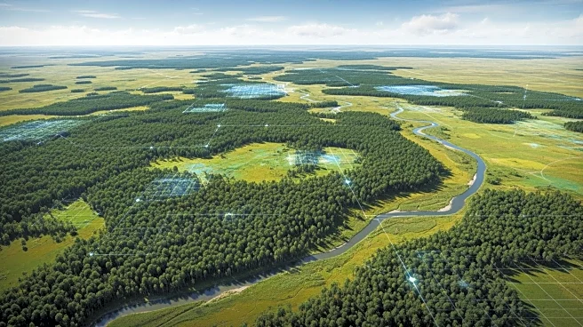
Recent advancements in deep learning have enabled more effective wildlife monitoring through satellite imagery, particularly for species like rhinoceroses. The use of high-resolution imagery from satellites such as Maxar Technologies' WorldView-3 allows
for detailed detection of individual animals, overcoming challenges posed by traditional methods like UAVs and foot patrols. This approach provides broader ecological insights into habitat selection and migration dynamics, although it faces challenges such as high costs and manual analysis. Deep learning automates the detection process, improving accuracy and scalability, which is crucial for conservation efforts.
Why It's Important?
The ability to accurately monitor wildlife populations is critical for conservation efforts, especially for species like rhinoceroses that are under threat from poaching and habitat loss. Satellite-based monitoring offers a scalable solution that can cover large areas, reducing spatial bias and providing valuable data for tracking population trends. This technology supports conservation strategies by providing reliable data that can inform protection efforts, law enforcement initiatives, and habitat management. As costs decrease and technology advances, satellite imagery could become a key tool in global wildlife conservation.
What's Next?
The continued development and deployment of high-resolution satellite constellations are expected to reduce costs and improve the temporal resolution of wildlife monitoring. This will enhance the ability to track animal movements and population dynamics more accurately. Conservationists and researchers may increasingly rely on satellite imagery to complement traditional methods, potentially leading to more comprehensive and effective conservation strategies. The integration of AI and deep learning in wildlife monitoring is likely to expand, offering new opportunities for automated analysis and real-time data processing.
Beyond the Headlines
The use of satellite imagery for wildlife monitoring raises ethical considerations regarding privacy and the potential impact on local communities. As technology advances, it is important to balance the benefits of improved conservation efforts with the rights and interests of indigenous peoples and local stakeholders. Additionally, the reliance on commercial satellite providers highlights the need for collaboration between governments, NGOs, and private companies to ensure equitable access to data and resources.


