


What's Happening?
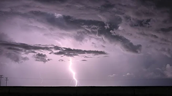
Maryland is experiencing a shift in weather patterns as humidity levels rise, leading to an increased chance of showers and thunderstorms. The First Alert Weather Team has designated Tuesday as a First Alert Weather Day due to the potential for severe
weather, including heavy rainfall and gusty winds. Temperatures are expected to peak in the low to mid-80s, with spotty showers occurring throughout the day. The risk of storms will continue into the evening, with some areas experiencing heavy rain. As the week progresses, temperatures will rise into the upper 80s and lower 90s, accompanied by scattered showers and storms. The weather is expected to dry out by Thursday and Friday, but the weekend may see a return of hot and muggy conditions with a chance of storms.
Why It's Important?
The changing weather conditions in Maryland could have significant impacts on daily life and activities. The potential for severe weather on Tuesday poses a risk to public safety, particularly with the threat of damaging winds and heavy rainfall. This could affect transportation, outdoor events, and infrastructure. The rise in temperatures and humidity may also lead to discomfort and health concerns, especially for vulnerable populations. Additionally, the forecasted storms could disrupt local businesses and services, highlighting the importance of preparedness and timely weather updates.
What's Next?
Residents of Maryland should stay informed about the weather conditions, particularly on Tuesday when severe storms are expected. The First Alert Weather Team will continue to monitor the situation and provide updates. It is advisable for individuals to plan accordingly, considering potential disruptions to travel and outdoor activities. As the week progresses, the focus will shift to the rising temperatures and humidity, with preparations needed for the hot and muggy conditions expected by the weekend.