


What's Happening?
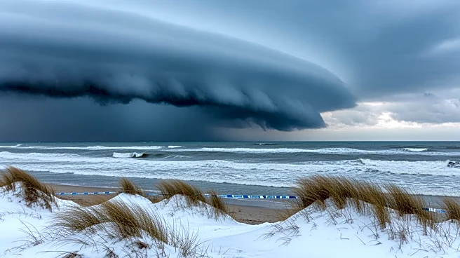
Forecasters are monitoring the potential development of a strong nor’easter, possibly a bomb cyclone, near the East Coast from Sunday into Monday. This weather event could bring significant snow and strong winds to the Mid-Atlantic and Northeast regions,
affecting cities from Washington D.C. to Boston. The forecast presents three scenarios: a 40% chance of heavy snow and wind, a 40% chance of moderate snow, and a 20% chance of minimal impact if the storm forms further offshore. The storm's development depends on the interaction of weather disturbances from California and northwest Canada. If these disturbances merge near the Eastern Seaboard, a strong storm could form, leading to widespread travel disruptions.
Why It's Important?
The potential nor’easter could significantly impact travel and daily life in major urban areas along the East Coast. Heavy snow and strong winds could lead to hazardous road conditions, flight cancellations, and power outages. The economic implications include disruptions to businesses and potential damage to infrastructure. Residents and local governments may need to prepare for emergency responses, including snow removal and public safety measures. The storm's timing, coinciding with the transition from winter to spring, highlights the volatility of weather patterns and the need for adaptive planning in response to climate variability.
What's Next?
Forecasters will continue to refine the storm's trajectory and intensity predictions over the coming days. Residents in the affected areas should stay informed through local weather updates and prepare for possible disruptions. Emergency services and local governments may issue advisories or warnings as the situation develops. The potential for rapid storm intensification, known as bombogenesis, underscores the need for readiness in coastal and inland communities. The outcome will depend on the precise timing and interaction of weather systems, which will be closely monitored by meteorologists.