


What's Happening?
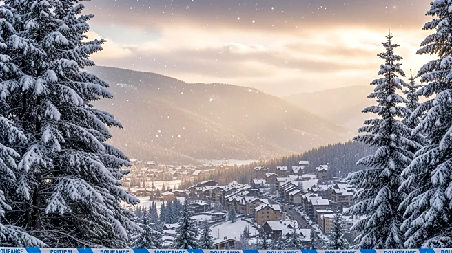
A winter storm watch has been issued for Northern California, with significant snowfall expected to impact travel over the Presidents Day weekend. The National Weather Service has warned travelers heading to and from the Sierra Nevada and its ski resorts
to anticipate 'major travel impacts' and to exercise 'extreme caution.' Meteorologist Dakari Anderson from the Sacramento office indicated that the best travel window would be from Saturday through Sunday morning before the cold weather system intensifies. Communities at elevations between 3,000 and 4,000 feet are expected to receive 1 to 2 feet of snow, while higher elevations could see accumulations of 6 to 8 feet. The storm is anticipated to affect areas in Western Nevada and Southern Oregon as well.
Why It's Important?
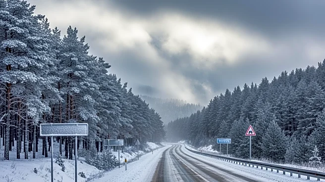
The winter storm poses significant challenges for travelers during a busy holiday weekend, potentially disrupting plans and causing delays. The heavy snowfall could lead to hazardous road conditions, impacting not only local residents but also tourists visiting the region's popular ski resorts. This weather event underscores the importance of preparedness and caution during winter travel, as well as the potential economic impact on local businesses reliant on tourism. The storm's reach into parts of Nevada and Oregon highlights the broader regional implications, affecting multiple states and communities.
What's Next?
Travelers are advised to plan their journeys carefully, taking advantage of the recommended travel window before conditions worsen. Local authorities and the National Weather Service will continue to monitor the storm's progression, providing updates and guidance to ensure public safety. Communities in the affected areas may need to prepare for potential power outages and disruptions in services due to the heavy snowfall. The situation will require ongoing coordination between weather services, local governments, and emergency responders to mitigate the storm's impact.