What's Happening?
Fleet operations are undergoing significant transformation due to the integration of AI and precision mapping technologies. The American Transportation Research Institute (ATRI) reported that non-fuel costs for fleets reached a record high of $1.779 per mile
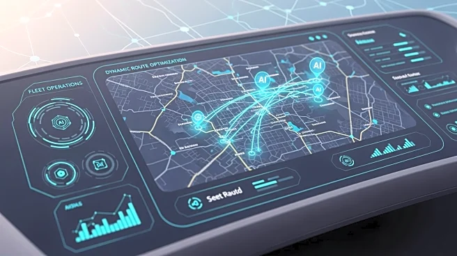
in 2024, prompting fleet managers to seek innovative solutions to remain profitable. Precision mapping, which combines high-definition cameras and centimeter-accurate GPS, offers real-time mapping capabilities that enhance navigation and spatial intelligence. This technology allows fleets to anticipate road conditions, optimize routes, and improve compliance and safety, ultimately reducing maintenance costs and boosting fuel efficiency.
Why It's Important?
The adoption of AI and precision mapping in fleet operations is crucial for addressing the financial pressures faced by the industry. By reducing maintenance costs and improving fuel efficiency, fleets can lower their operating expenses, which are significantly impacted by fuel costs, accounting for 21% of expenses in 2024. Additionally, improved compliance and safety measures can mitigate rising insurance premiums and litigation fees. These advancements not only enhance operational efficiency but also contribute to faster and more reliable deliveries, improving customer satisfaction and competitive advantage in the logistics sector.
What's Next?
As fleet managers continue to integrate precision mapping technologies, the industry may see further advancements in AI-driven solutions that enhance route optimization and spatial intelligence. Stakeholders, including technology providers and fleet operators, are likely to collaborate on developing more sophisticated systems that address complex urban environments and dynamic road conditions. This ongoing innovation could lead to new standards in fleet management, influencing regulatory policies and industry practices.
Beyond the Headlines
The integration of AI and precision mapping in fleet operations may have broader implications for urban planning and infrastructure development. As fleets become more adept at navigating complex environments, there could be increased demand for smart city initiatives that support real-time data sharing and traffic management. This shift may also prompt discussions on ethical considerations related to data privacy and surveillance, as real-time mapping involves extensive data collection and processing.


