
What's Happening?
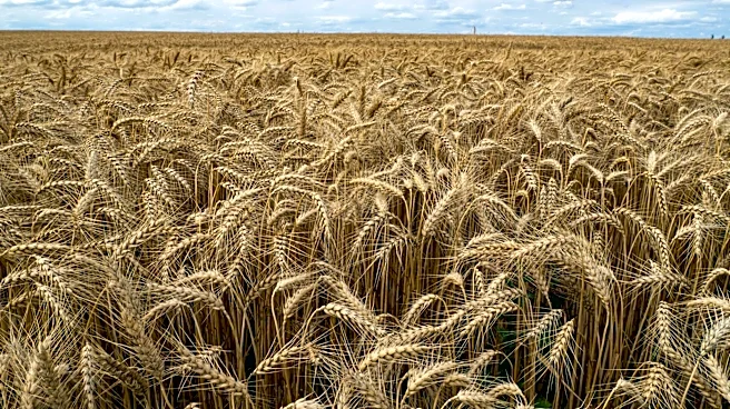
NASA, in collaboration with the University of Mississippi and the U.S. Department of Agriculture, has integrated satellite data into the Agricultural Integrated Management System (AIMS) to improve watershed
management. This initiative utilizes the North American Land Data Assimilation System, Phase 2 (NLDAS-2), which provides near real-time land-surface modeling data. The data includes environmental measurements such as precipitation, temperature, and solar radiation, covering a wide geographical area from January 1979 to the present. The integration aims to assist farmers and land managers by providing comprehensive data for water flow models and environmental analyses, especially in regions lacking local climate observations.
Why It's Important?
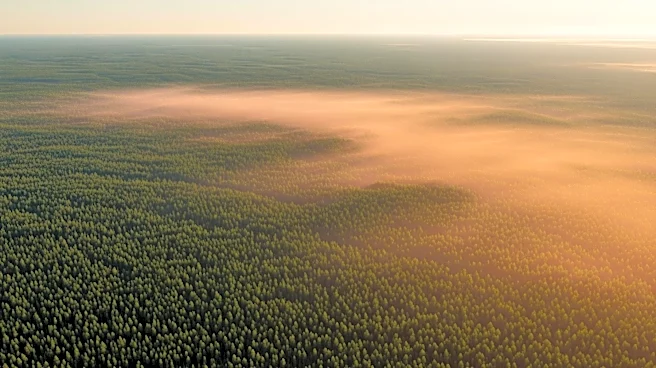
The integration of NASA's satellite data into AIMS is significant for U.S. agriculture and environmental management. It provides a reliable alternative to ground-based sensors, which are often sparse in remote or large watershed areas. This development allows for better decision-making regarding land management, water quality, and agricultural practices. By offering detailed insights into the water cycle, the system supports sustainable resource management and helps mitigate agricultural pollution. The enhanced data accessibility can lead to improved agricultural productivity and environmental conservation, benefiting both the economy and ecological health.
What's Next?
The release of AIMS 3.0, which includes NLDAS-2 data, marks a step forward in watershed simulation capabilities. Future developments may focus on expanding the system's reach and functionality, potentially incorporating more advanced modeling techniques and additional datasets. Stakeholders such as farmers, environmental agencies, and policymakers are likely to explore further applications of this technology to enhance resource management and address climate-related challenges. Continuous updates and user feedback will be crucial in refining the system and maximizing its impact.
Beyond the Headlines
The integration of satellite data into watershed management systems highlights the growing role of technology in environmental stewardship. This approach not only improves data accuracy and accessibility but also fosters collaboration between scientific institutions and government agencies. The project underscores the importance of leveraging advanced technologies to address complex environmental issues, setting a precedent for future initiatives in climate adaptation and resource management.