


What's Happening?
A NASA-funded initiative is leveraging satellite data to improve watershed management across the United States. The project, led by researchers at the University of Mississippi, integrates NASA's remotely sensed data into the Agricultural Integrated Management
System (AIMS), a platform developed in collaboration with the U.S. Department of Agriculture’s National Sedimentation Laboratory. AIMS uses satellite data to generate water flow models and environmental analyses, enabling simulations of runoff, sediment, and agricultural pollution loadings for any watershed in the country. The recent release of AIMS 3.0 incorporates the North American Land Data Assimilation System, Phase 2 (NLDAS-2) dataset, enhancing the platform's capability to simulate watershed conditions, especially in areas lacking local climate observations.
Why It's Important?
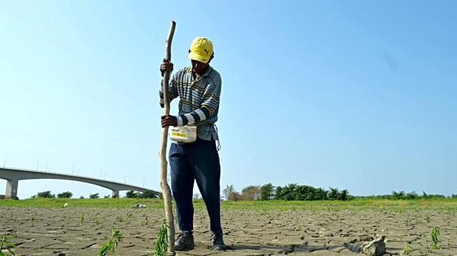
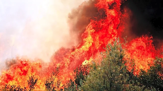
This development is significant for U.S. agriculture and environmental management, as it provides farmers and land managers with critical data to make informed decisions about land use and water quality. By integrating satellite data with advanced modeling, AIMS 3.0 offers a powerful tool for understanding and managing the impacts of agricultural practices on water resources. This can lead to better management of agricultural runoff, improved water quality, and more sustainable farming practices. The ability to simulate watershed conditions in real-time can help mitigate the effects of droughts and other climate-related challenges, ultimately supporting the resilience of the agricultural sector and protecting vital water resources.
What's Next?
The continued integration of satellite data into watershed management systems like AIMS is expected to expand, providing even more comprehensive tools for environmental monitoring and decision-making. As the project progresses, it may lead to further enhancements in the accuracy and accessibility of watershed data, benefiting not only farmers and land managers but also policymakers and environmental agencies. The success of AIMS 3.0 could serve as a model for similar initiatives globally, promoting the use of satellite data in environmental management and conservation efforts.