
What's Happening?
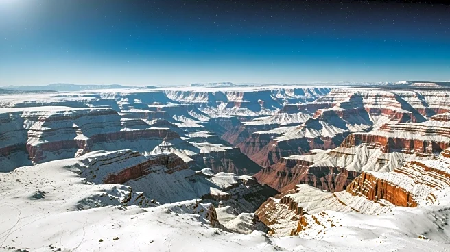
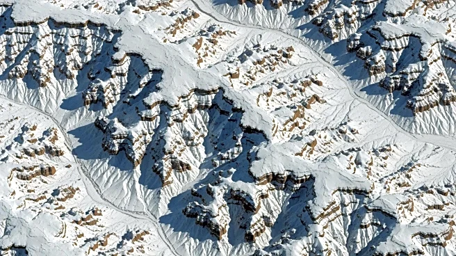
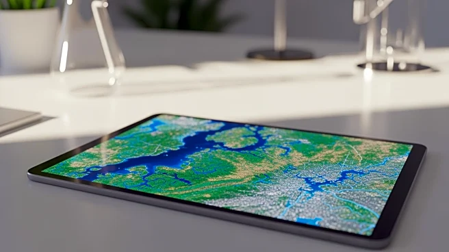
NASA's Applied Remote Sensing Training program (ARSET) is set to conduct a two-part live online training session on February 24 and 26, 2026. This training aims to educate participants on using classification
models in RStudio to produce maps and metrics of land cover and land use change (LCLUC). The initiative is designed to help professionals understand and quantify how human activities transform the Earth's surface. The training is open to the public at no cost and is particularly recommended for those interested in coding to analyze land cover changes. This effort is part of NASA's broader mission to utilize Earth observation technologies for environmental management and climate change mitigation.
Why It's Important?
The training program underscores the growing importance of geoengineering and satellite imagery in addressing environmental challenges. By equipping professionals with the skills to analyze land cover changes, NASA is fostering a deeper understanding of human impacts on the environment. This knowledge is crucial for managing natural resources, guiding land-use planning, and predicting the consequences of land changes. As urban development, agriculture, and conservation efforts continue to evolve, the ability to monitor and respond to these changes becomes increasingly vital. The program highlights NASA's commitment to leveraging technology for sustainable development and environmental protection.
What's Next?
Participants in the training will gain practical skills in using RStudio for land cover analysis, which could lead to more informed decision-making in various sectors. As professionals apply these skills, there may be increased collaboration between government agencies, environmental organizations, and the private sector to address land use challenges. The training could also inspire further educational initiatives and research projects focused on environmental management. As the demand for data-driven solutions grows, similar programs may become more prevalent, enhancing the capacity to tackle climate change and resource management issues.
Beyond the Headlines
The training program reflects a broader trend towards integrating technology and environmental science. As satellite imagery becomes more accessible, it democratizes the ability to monitor and respond to environmental changes. This shift could lead to more community-driven conservation efforts and increased public engagement in environmental issues. Additionally, the use of open-source tools like RStudio promotes transparency and collaboration in scientific research, potentially leading to more innovative solutions to global challenges.