

What's Happening?
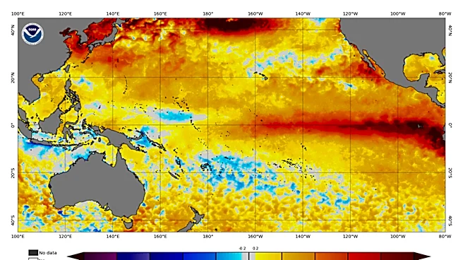
The National Oceanic and Atmospheric Administration (NOAA) is predicting a historically strong El Niño event for the Northern Hemisphere this fall and winter, with a more than 90% chance of a "very strong event." There is also a 69% chance that this event will
exceed the strength of all El Niño events recorded since 1950. El Niño is a natural warming of seawater in the Pacific Ocean that influences global weather and climate patterns. The Climate Prediction Center reports that El Niño has continued to strengthen, with sea-surface temperatures in the eastern equatorial Pacific Ocean more than 3.6 degrees above average. This strong El Niño is expected to persist through the end of the year.
Why It's Important?
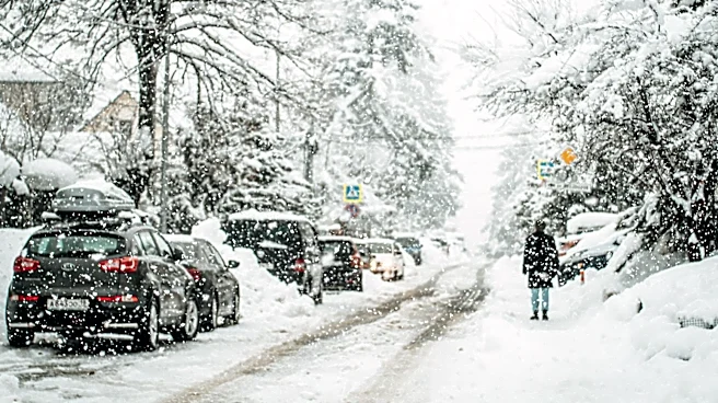
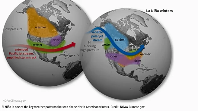
A historically strong El Niño has significant implications for U.S. weather, particularly for states like Illinois. While the impacts are often nuanced, the northern third of the United States typically experiences enhanced chances of below-normal precipitation during an El Niño winter. Temperatures also tend to be warmer from the Pacific Northwest to the Great Lakes region, according to NOAA’s lead hurricane seasonal forecaster, Matthew Rosencrans. These shifts can affect various sectors, including agriculture, transportation, and energy consumption. For Illinois, this could mean a winter with less snowfall and milder temperatures, impacting winter sports, municipal snow removal budgets, and potentially altering agricultural cycles in the following spring.
What's Next?
The strong El Niño is expected to continue strengthening through the end of the year. Scientists are also considering the potential interaction between this El Niño and the polar vortex. While the relationship is still uncertain, El Niño tends to weaken the polar vortex in mid-to-late winter, which can increase the chances of sudden warming events in the stratosphere. Amy Butler, a physicist at NOAA's Chemical Sciences Laboratory, noted that El Niño drives changes in high- and low-pressure patterns in the lowest layer of Earth's atmosphere. These changes can influence the jet stream, potentially funneling cold air into the eastern United States if the polar vortex is disrupted. Globally, this El Niño is expected to boost temperatures, potentially leading to record global temperatures, as stated by Alvaro Silva, a World Meteorological Organization scientist.
Beyond the Headlines
The interplay between El Niño and the polar vortex highlights the complex and interconnected nature of global climate systems. While El Niño is a natural phenomenon, its strength and potential interactions with other atmospheric patterns underscore the need for advanced climate modeling and forecasting. The ability to predict such strong events with high probability allows for proactive planning in various sectors, from public health to infrastructure management. The broader context of global warming means that even natural climate patterns like El Niño can have amplified effects, as a warmer baseline atmosphere and ocean can intensify associated extreme weather events. This emphasizes the critical role of climate science in preparing for and mitigating the impacts of both natural variability and long-term climate trends.