






What's Happening?
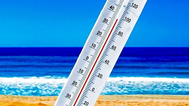
The UK is experiencing a brief return of summer-like temperatures, with parts of south-east England forecast to reach 27 or 28 degrees Celsius. Wider areas of England and Wales are expected to see temperatures in the mid-20s. This increase in temperature is attributed
to a southerly wind drawing hot and humid air from continental Europe. Sunshine is anticipated to develop across many regions later in the day, further contributing to the rising temperatures. South-west England and eastern Wales could reach highs of 25C, while the North of England will experience temperatures in the low 20s. Eastern parts of Northern Ireland and Scotland might see afternoon highs around 21 or 22C. However, this heatwave is expected to subside by Monday.
Why It's Important?
This brief heatwave follows what the Met Office confirmed as the UK's hottest summer since records began nearly 150 years ago. The previous summer saw five heatwaves between May and August, leading to widespread drought, wildfires, and travel disruptions. The mean average temperature across June, July, and August was 16.5C, surpassing the previous record of 16.1C set last year. While this current heat is short-lived, it underscores the ongoing trend of rising temperatures and the increasing frequency of heat events in the UK. Such weather patterns have significant implications for public health, infrastructure, and the environment, including potential strain on healthcare services, increased energy consumption for cooling, and continued concerns about water resources and fire risks. The consistent breaking of temperature records highlights the long-term climate shifts affecting the region.
What's Next?
The current heat is projected to pass by Monday, with a return to more changeable weather conditions. Areas of cloud and rain across England and Wales are expected to clear to the northeast by early afternoon today, followed by fine, sunny, and very warm weather. Scotland and Northern Ireland will remain windy and cloudy with occasional rain. Tonight, cloud and rain across Scotland and Northern Ireland will move into England and Wales, weakening as it progresses. Monday will see southern and central areas largely dry and bright after some early rain, while rain followed by showers will move southeastwards, with gales towards the northwest. The outlook for Tuesday to Thursday indicates easing showers on Tuesday, a mostly dry and bright Wednesday, and a fine start to Thursday before rain and stronger winds move in from the west.
Beyond the Headlines
The recurring heatwaves and record-breaking temperatures in the UK point to broader climate change trends. The Met Office's confirmation of the hottest summer on record emphasizes the long-term shifts in global weather patterns. This has profound implications beyond immediate discomfort, including potential impacts on agriculture, biodiversity, and the economy. The need for adaptation strategies, such as improved urban planning to mitigate heat island effects, enhanced water management, and resilient infrastructure, becomes increasingly critical. The public discourse around these events also shapes policy decisions regarding carbon emissions and renewable energy investments. The experience of multiple heatwaves in recent years could lead to a re-evaluation of national climate targets and preparedness measures, influencing future environmental policies and public health initiatives.