


What's Happening?
The National Weather Service (NWS) in Mount Holly, New Jersey, has issued a Flash Flood Warning for specific areas in the northeastern U.S. This warning is in effect until 2:30 PM EDT on August 27. The affected regions include Northeastern New Castle
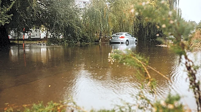
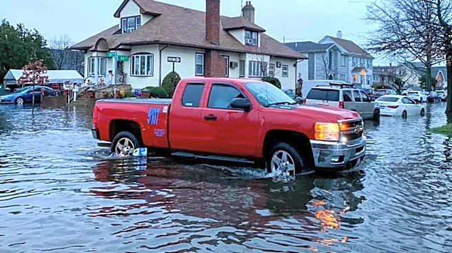
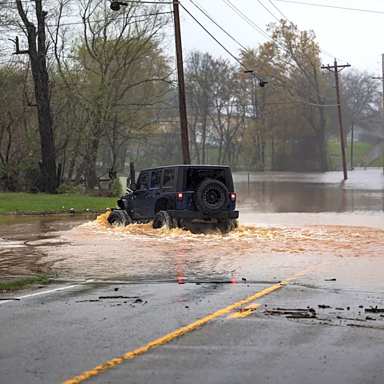
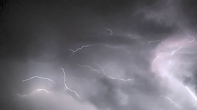
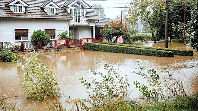
County in northern Delaware, Northwestern Gloucester County in southern New Jersey, and Southern Delaware County in southeastern Pennsylvania. The NWS reported that Doppler radar indicated thunderstorms producing heavy rain moving into these warned areas. Forecasters anticipate 1 to 2 inches of rain within an hour, which is expected to cause flash flooding. The primary hazard is flash flooding caused by these thunderstorms, with potential impacts including flooding of small creeks and streams, urban areas, highways, streets, and underpasses, as well as other poor drainage and low-lying areas.
Why It's Important?
Flash flood warnings are critical for public safety as they indicate an imminent or occurring dangerous weather event. The rapid onset of flash flooding can lead to significant property damage, infrastructure disruption, and pose a direct threat to human life. For residents and commuters in the affected counties of Delaware, New Jersey, and Pennsylvania, this warning necessitates immediate action, such as avoiding flooded roads and seeking higher ground. The potential for widespread disruption to transportation networks, including highways and underpasses, can impact daily commerce and emergency services. Furthermore, repeated or severe flash flooding events can contribute to long-term erosion, water quality issues, and strain local emergency response resources, highlighting the broader societal and economic implications of such weather phenomena.
What's Next?
Residents in the warned areas are advised to remain vigilant and follow instructions from local authorities. The Flash Flood Warning is set to expire at 2:30 PM EDT, but conditions can change rapidly. It is crucial for individuals to avoid driving or walking through flooded areas, as even shallow water can be dangerous. Emergency services will likely be on standby to respond to any incidents of flooding or stranded individuals. After the immediate threat subsides, local authorities will assess any damage to infrastructure and property. The NWS will continue to monitor weather patterns and issue updates or additional warnings if conditions warrant, emphasizing the need for ongoing public awareness and preparedness for severe weather events.
Beyond the Headlines
The issuance of flash flood warnings like this one underscores the increasing frequency and intensity of extreme weather events, which some attribute to broader climate patterns. While this specific event is localized, it contributes to a larger narrative of communities needing to adapt to more unpredictable and severe weather. The impact on urban areas, particularly those with aging infrastructure, highlights vulnerabilities in drainage systems and urban planning. This event also serves as a reminder of the importance of robust early warning systems and public education campaigns to ensure that communities are prepared to respond effectively to sudden environmental hazards. The economic costs associated with flood damage, including repairs to homes, businesses, and public infrastructure, can be substantial, pointing to the need for resilient infrastructure and comprehensive disaster preparedness strategies.