


What's Happening?
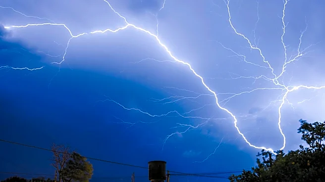
A tornado warning was issued for parts of Vinton, Gallia, and Meigs counties in Ohio, as well as Mason County in West Virginia. The warning was in effect from 6 to 7 p.m. and was prompted by a rapidly developing severe thunderstorm. The storm, which grew
from a 10,000-foot shower to a 45,000-foot thunderstorm, showed signs of hail and strong winds but lacked a definitive rotation signature, indicating no confirmed tornado touchdown. The storm eventually weakened after 7:30 p.m. This event is part of a series of storms expected to affect the region throughout the week, with potential for tornadoes and flash flooding as a low-pressure system approaches from the west.
Why It's Important?
The issuance of a tornado warning highlights the potential for severe weather, which can lead to significant disruptions and safety concerns for residents in the affected areas. Tornadoes and severe thunderstorms can cause property damage, power outages, and pose risks to personal safety. The anticipation of continued storm activity throughout the week suggests that residents should remain vigilant and prepared for possible emergency situations. The impact on local infrastructure and emergency services could be substantial, necessitating coordinated response efforts.
What's Next?
As the week progresses, residents in the affected areas should stay informed about weather updates and heed any additional warnings or advisories issued by local authorities. Emergency preparedness measures, such as securing property and having a plan for shelter, are advisable. Local governments and emergency services will likely be on high alert to respond to any incidents resulting from the severe weather. The situation underscores the importance of community readiness and effective communication during weather-related emergencies.