




What's Happening?
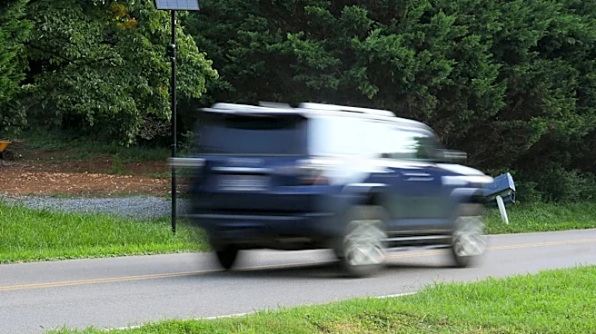
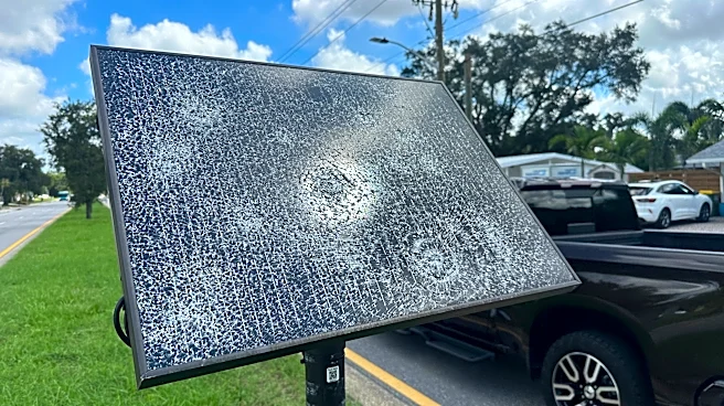
DeFlock Maps, a new crowdsourced app, is providing transparency by mapping the locations of Flock Safety's automated license plate readers (ALPRs) across the U.S. The app, powered by OpenStreetMap, aims to increase public awareness of surveillance infrastructure
by allowing users to see where these devices are located in their neighborhoods. Flock cameras, which make up over 80% of the mapped devices, have been controversial due to privacy concerns and their widespread use by law enforcement and private entities.
Why It's Important?
The proliferation of surveillance technology raises significant privacy and civil liberties concerns. By making the locations of these devices publicly accessible, DeFlock Maps empowers citizens to understand and potentially challenge the surveillance measures in their communities. This transparency is crucial in fostering accountability and informed public discourse about the balance between security and privacy in modern society.
Beyond the Headlines
The development of DeFlock Maps reflects a growing movement towards surveillance transparency and public empowerment. As surveillance technology becomes more pervasive, tools like this app may play a critical role in shaping public policy and influencing the regulatory landscape. The app's reliance on crowdsourced data also highlights the potential for community-driven initiatives to impact the conversation around privacy and surveillance.