What's Happening?
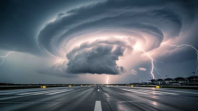
The Israel Meteorological Service has issued a rare red warning in anticipation of a severe storm expected to hit the country from Monday evening through Tuesday. The storm is forecasted to bring winds reaching up to 110 km/h, particularly along the coast,
raising concerns about widespread flooding and flash floods in areas such as the West Bank, coastal plain, northern Negev, and Judean Desert. Snowfall is anticipated in the Golan Heights. The storm is expected to cause significant disruptions, including flight diversions and potential power outages due to falling trees and debris. Authorities have urged residents to secure outdoor objects and avoid non-essential travel during peak storm hours.
Why It's Important?
The impending storm poses significant risks to public safety and infrastructure in Israel. The high winds and heavy rainfall could lead to severe flooding, particularly in vulnerable areas, impacting transportation and daily life. The potential for power outages and damage to infrastructure could strain emergency services and require substantial recovery efforts. The storm also highlights the increasing frequency and intensity of extreme weather events, which may be linked to broader climate change patterns. This situation underscores the need for robust emergency preparedness and infrastructure resilience to mitigate the impacts of such natural disasters.
What's Next?
As the storm progresses, emergency services and local authorities will likely continue to monitor the situation closely, providing updates and guidance to the public. The Israel Electric Corporation has already reinforced its field crews to address potential power outages. Once the storm subsides, efforts will focus on assessing and repairing any damage to infrastructure and restoring normalcy. The event may prompt discussions on improving infrastructure resilience and emergency response strategies to better handle future extreme weather events.


