


What's Happening?
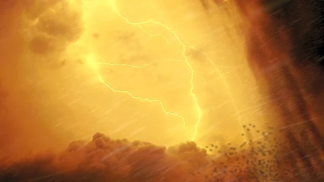
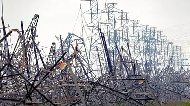
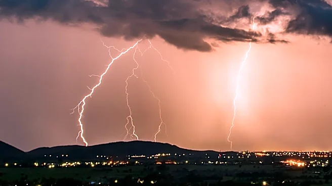
Severe weather swept through Michiana on Tuesday, causing significant damage and leaving thousands without power. The Storm Prediction Center had placed the area under a Level 3 risk for severe weather, which materialized with damaging winds and hail.
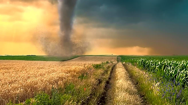
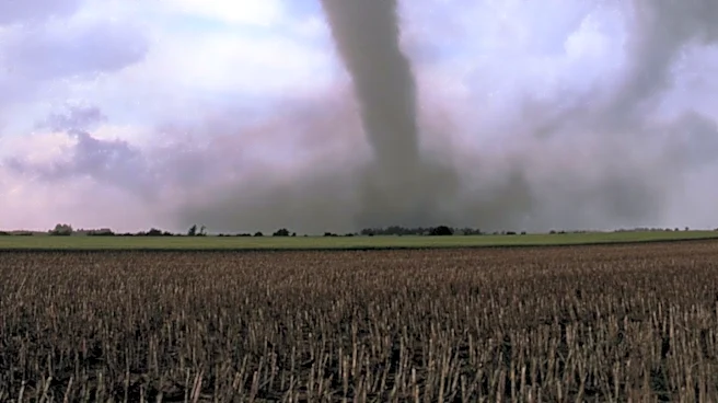
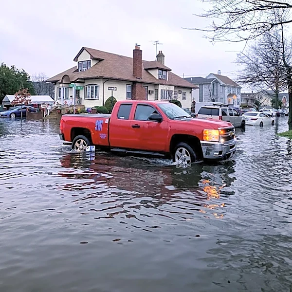
A tornado warning was issued earlier in the day, and heavy downpours increased the risk of localized flooding. The storms began in the morning and intensified by the afternoon, with widespread rain and storms expected by 2 p.m. Despite a brief respite mid-morning, the high humidity contributed to the storm's energy, leading to strong winds and potential flooding.
Why It's Important?
The severe weather highlights the vulnerability of infrastructure and communities to extreme weather events. Power outages disrupt daily life and can have economic impacts, particularly if businesses are forced to close. The risk of flooding poses a threat to property and can lead to costly repairs and insurance claims. This event underscores the importance of preparedness and the need for robust emergency response systems to mitigate the impact of such weather events. It also raises questions about climate resilience and the need for infrastructure that can withstand increasingly frequent and severe weather patterns.
What's Next?
As the storms move out of the area, the focus will shift to recovery and restoring power to affected areas. More rain is expected on Wednesday, though the risk of severe weather is lower. Authorities will likely assess the damage and begin cleanup efforts. Residents are advised to stay informed about weather updates and take precautions against potential flooding. The ongoing weather patterns suggest a need for continued vigilance and readiness for further storms.