



What's Happening?
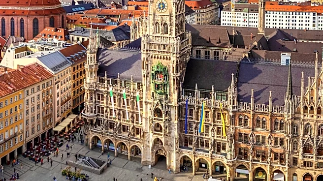
Munich is undergoing a comprehensive seismic survey, known as the GIGA-M study, to create a detailed 3D map of its underground water resources. The primary goal is to identify optimal locations for geothermal heat and power plants. The survey involves
deploying over 120,000 geophones at approximately 20-meter intervals in north-south lines, spaced about 300 meters apart. Simultaneously, 'vibrotrucks' traverse east-west routes, generating mini-earthquakes every 20 meters. These trucks emit frequency sweeps, from about 6 Hz to 96 Hz, sending shockwaves deep into the earth. Geophones then record the reflections of these waves as they bounce off different geological layers, allowing scientists to calculate the depth and characteristics of underground structures. The survey covers a vast area of 1,000 square kilometers and involves 86,000 excitation points. This extensive mapping effort aims to fill gaps from previous smaller surveys and provide a complete picture of the Jurassic-era water layer, which is approximately 3 kilometers deep and reaches temperatures of 100°C.
Why It's Important?
This large-scale seismic survey is critical for Munich's future energy strategy, particularly in leveraging geothermal energy. The city possesses a significant underground reservoir of hot water, which is a clean and renewable energy source. By accurately mapping this resource, Munich can strategically plan the placement of geothermal plants and optimize drilling directions for 'extended reach drilling,' a technique that allows for tapping into larger heat sources and preventing localized cooling. This initiative is vital for reducing reliance on fossil fuels and achieving sustainability goals. For the U.S., this project serves as a model for urban areas with geothermal potential, demonstrating how advanced geological surveys can unlock significant renewable energy resources. The methodology employed, including the use of synchronized vibrotrucks and a dense network of geophones, showcases best practices in subsurface exploration for energy development, which could be adopted by U.S. cities and regions looking to expand their geothermal footprint.
What's Next?
Following the completion of the GIGA-M study, the collected seismic data will be processed and analyzed to construct a precise 3D underground map. This map will then guide urban planners and energy companies in determining the most efficient locations for new geothermal plants and the optimal drilling paths for extracting hot water. The insights gained will inform infrastructure development, including the design and construction of boreholes and distribution networks for geothermal heat. It is expected that Munich will proceed with the development of additional geothermal facilities, further integrating renewable energy into its power and heating grids. The success of this project could also spur further investment in geothermal technology and exploration in other regions, both within Germany and internationally, including the U.S., as cities seek sustainable alternatives to conventional energy sources. The project's findings may also contribute to advancements in seismic imaging techniques and geothermal energy extraction methods.
Beyond the Headlines
The Munich seismic survey highlights a broader global trend towards utilizing subsurface resources for sustainable energy. Beyond the immediate energy benefits, such detailed geological mapping can provide invaluable data for other urban planning aspects, including groundwater management, infrastructure development, and even earthquake preparedness. The project also underscores the increasing sophistication of geophysical exploration techniques, where precise synchronization and data correlation across vast arrays of sensors enable unprecedented accuracy in understanding subterranean environments. Ethically, the project demonstrates a commitment to long-term environmental stewardship and energy independence, balancing urban development with ecological responsibility. Culturally, it represents a shift in how cities perceive and interact with their geological foundations, moving towards a more integrated and sustainable relationship with the natural environment beneath them. This holistic approach to urban resource management could become a blueprint for future smart cities worldwide.