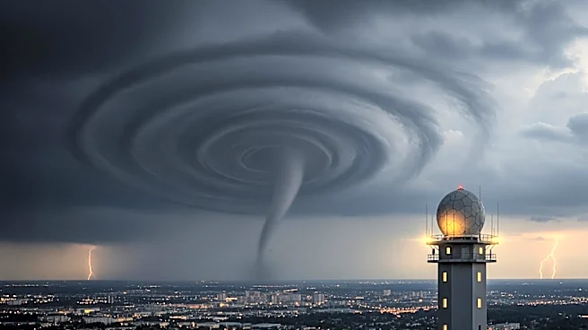


What's Happening?
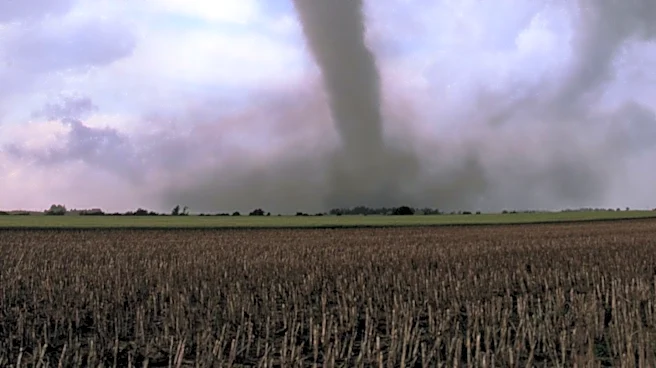
The National Weather Service has issued a forecast for multiple rounds of severe thunderstorms in the Madison area from early Wednesday morning through Thursday evening. The storms could bring strong winds, hail, and tornadoes. A 'destructive tag' may
be added to Severe Thunderstorm Warnings if storms produce winds over 80 mph or baseball-sized hail, triggering outdoor warning sirens and text alerts. Hot temperatures are also expected, potentially leading to a Heat Advisory. The City of Madison urges residents to remain vigilant and not ignore weather alerts, emphasizing the importance of seeking shelter during severe weather warnings.
Why It's Important?
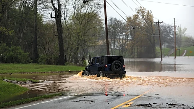
The forecasted severe weather poses significant risks to the Madison area, with potential impacts on safety, property, and daily life. The threat of tornadoes and destructive winds necessitates preparedness and quick response to warnings. The combination of severe storms and high temperatures could strain emergency services and infrastructure. Residents are encouraged to stay informed and take proactive measures to protect themselves and their property. The situation underscores the importance of effective communication and emergency management in mitigating the impacts of severe weather events.
What's Next?
Residents should monitor local weather updates and be prepared to take shelter if severe weather warnings are issued. The City of Madison advises having emergency kits ready and knowing the safest locations in homes or buildings. The forecast remains subject to change, with the potential for adjustments in the timing and severity of storms. Authorities will continue to provide updates and guidance to ensure public safety. The community is encouraged to support one another and check on vulnerable individuals during the severe weather period.