





What's Happening?
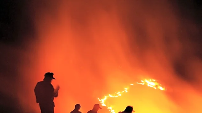
The U.S. Forest Service is initiating a series of prescribed burns in Northern Nevada and neighboring areas of California, including locations near Reno and Carson City. These controlled burns are part of a broader wildfire prevention strategy aimed at reducing
excess vegetation, improving wildlife habitats, protecting watersheds, and restoring fire-dependent ecosystems. The planned work, which is expected to continue through May 31, will target approximately 156 acres in the Mount Rose Corridor Project area and another 156 acres in the Arrowhawk Project area in southern Reno. Additionally, about 385 acres are slated for burning in the Clear Creek Fuels Reduction Project area west of Carson City, and 901 acres in the Dog Valley Fuels Reduction Project area in Sierra County, California.
Why It's Important?
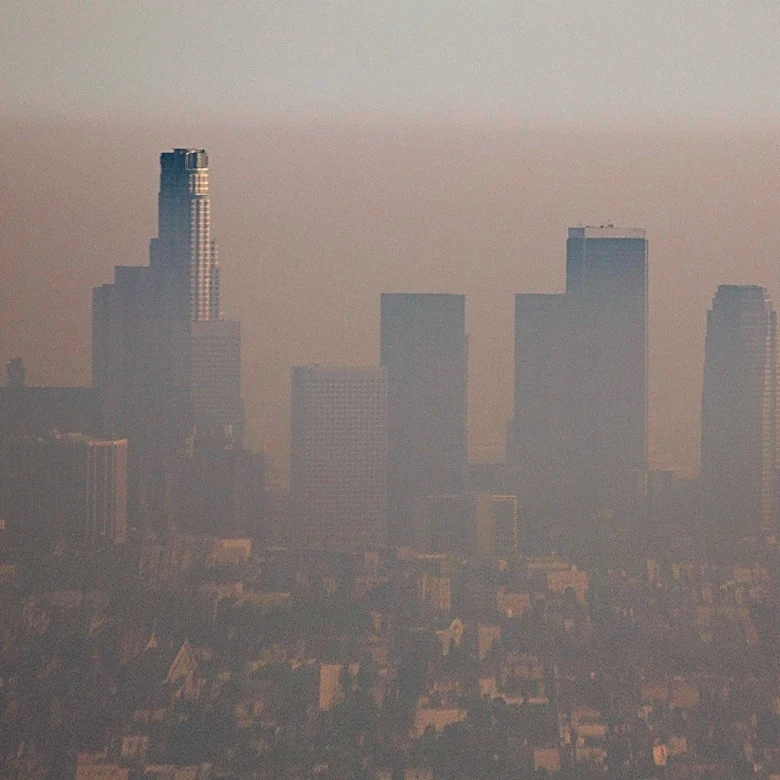
Prescribed burns are a critical tool in wildfire management, especially in the Western U.S., where decades of fire suppression have led to an accumulation of fuel. By proactively reducing vegetation, these burns decrease the risk of catastrophic wildfires, which can devastate communities, infrastructure, and natural resources. This initiative protects nearby urban areas like Reno and Carson City from the direct threat of large-scale fires and helps maintain the ecological health of the Sierra Nevada region. The strategic timing of these burns, dependent on favorable weather conditions, minimizes smoke impacts on populated areas while maximizing effectiveness. This approach is vital for creating more resilient landscapes and reducing the long-term costs associated with emergency wildfire response and recovery.
What's Next?
The U.S. Forest Service will proceed with the prescribed burns as weather and other conditions permit, with specialists evaluating conditions daily. Residents and visitors in the affected areas may observe smoke during the burning periods, but no closures are anticipated in connection with the work. Officials will notify county emergency management officials when burning commences and advise the public not to report these planned fires. Firefighters will remain on-site during ignitions and patrol the areas afterward to ensure safety. The public can stay informed about the schedule and locations of these burns through the Forest Service's website and monitor air quality via AirNow's fire and smoke map.
Beyond the Headlines
The use of prescribed burns reflects a significant shift in land management philosophy, moving from total fire suppression to a more integrated approach that acknowledges fire as a natural and necessary ecological process. This strategy, however, often faces public concern regarding smoke impacts and the perceived risk of controlled fires escaping containment. Educating the public about the long-term benefits of prescribed burns in reducing catastrophic wildfire risks and restoring ecosystem health is crucial for successful implementation. This initiative also highlights the ongoing collaboration between federal agencies and local communities in addressing complex environmental challenges, emphasizing the importance of adaptive management practices in response to changing climate patterns and increased wildfire threats across the U.S.