



What's Happening?
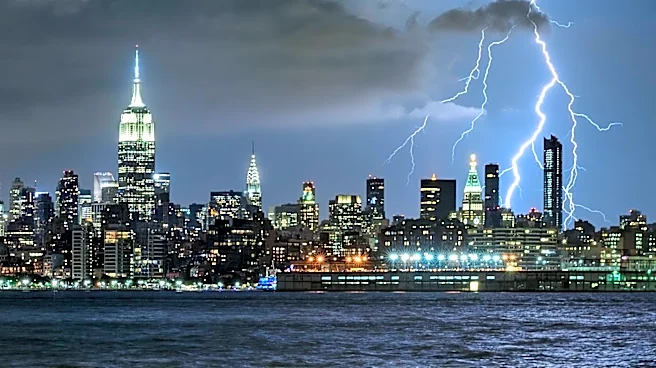
The National Weather Service has issued warnings for severe thunderstorms and heavy rainfall across western and north-central New York. The affected areas include Buffalo, Rochester, the Finger Lakes, and the Lake Ontario shoreline. The primary threats
are damaging wind gusts and heavy rainfall, which could lead to localized flooding. The greatest risk is expected from Monday evening into the overnight hours, with the potential for flash flooding continuing through Wednesday. Slow-moving showers and thunderstorms could cause flash flooding in low-lying areas, ponding on roads, and rapid rises in small streams and creeks.
Why It's Important?
The severe weather poses significant risks to residents and infrastructure in the affected areas. Damaging winds can lead to power outages and property damage, while heavy rainfall increases the risk of flash flooding, which can disrupt transportation and endanger lives. The warnings highlight the importance of preparedness and the need for residents to stay informed about weather conditions. The potential for widespread impact underscores the challenges of managing severe weather events, particularly in regions prone to flooding.
What's Next?
Residents are advised to monitor weather forecasts and alerts, and to be prepared for rapidly changing conditions. The National Weather Service recommends seeking shelter indoors during thunderstorms and avoiding driving through flooded roadways. Emergency services and local authorities will likely be on high alert to respond to any incidents. Continued monitoring of weather patterns will be essential to mitigate the impact of the storms and ensure public safety.